

The Burgpanorama-Weg near Kirkel winds through deep mixed forest to a medieval castle ruin — 8.3 km of honest woodland walking.
A hand-carved wooden sign on a rustic log gate marks the beginning. The moment you step through the start portal of the burgpanorama-weg at the Naturfreundehaus in Kirkel-Neuhäusel (Saarpfalz-Kreis), the road noise falls away and the forest takes over. On this particular summer day, the air was heavy and warm, the sky a flat, milky white — exactly the kind of diffuse light that makes sandstone glow and gives ancient stonework a brooding, mysterious quality.
Into the Kirkeler Mischwald
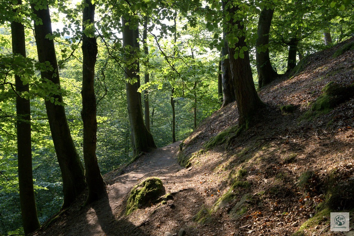
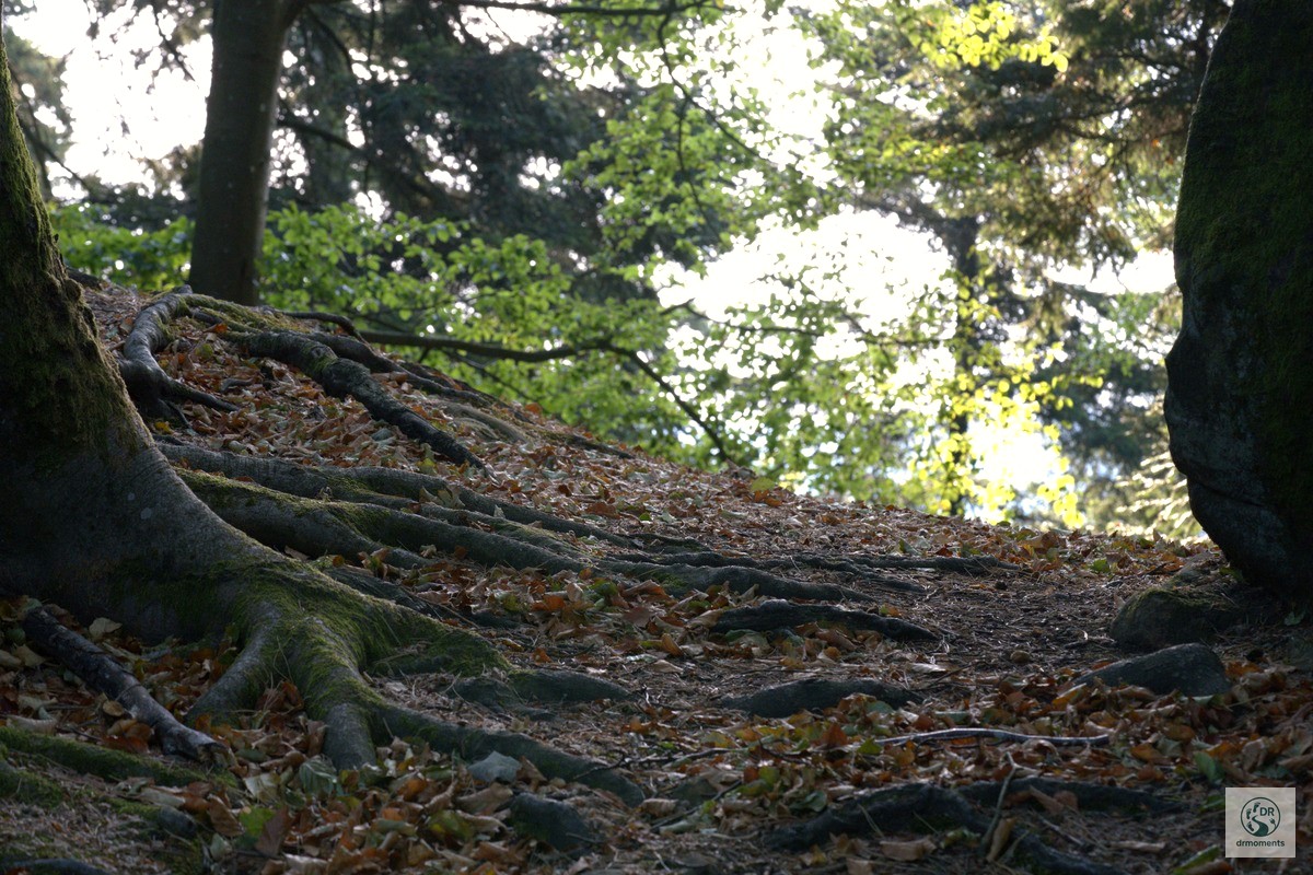
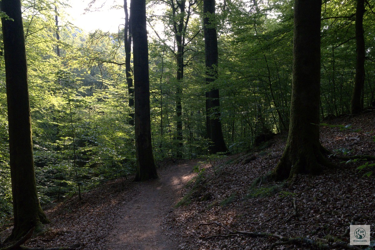
The first stretch climbs briefly but purposefully along a hollow way (Hohlweg) up the steep slope before levelling out into a comfortable rhythm. The trail winds through beech forest up to the Hollerkanzel, and that woodland section sets the tone for everything that follows: soft, root-laced ground underfoot, green light filtering down through the canopy, and a pleasing sense that you are going somewhere rather than just looping a car park.
The path I walked was roughly half narrow trail, half broader forest track — about 50% forest roads, 50% narrow paths. The narrow bits are the better bits. One section in particular stuck with me: a slim dirt track winding through tall grass and young birch saplings, the morning light catching the leaves in that particular luminous green you only get on a warm, overcast summer day. It felt genuinely wild rather than managed.
Sandstone, roots and the Felsenpfad
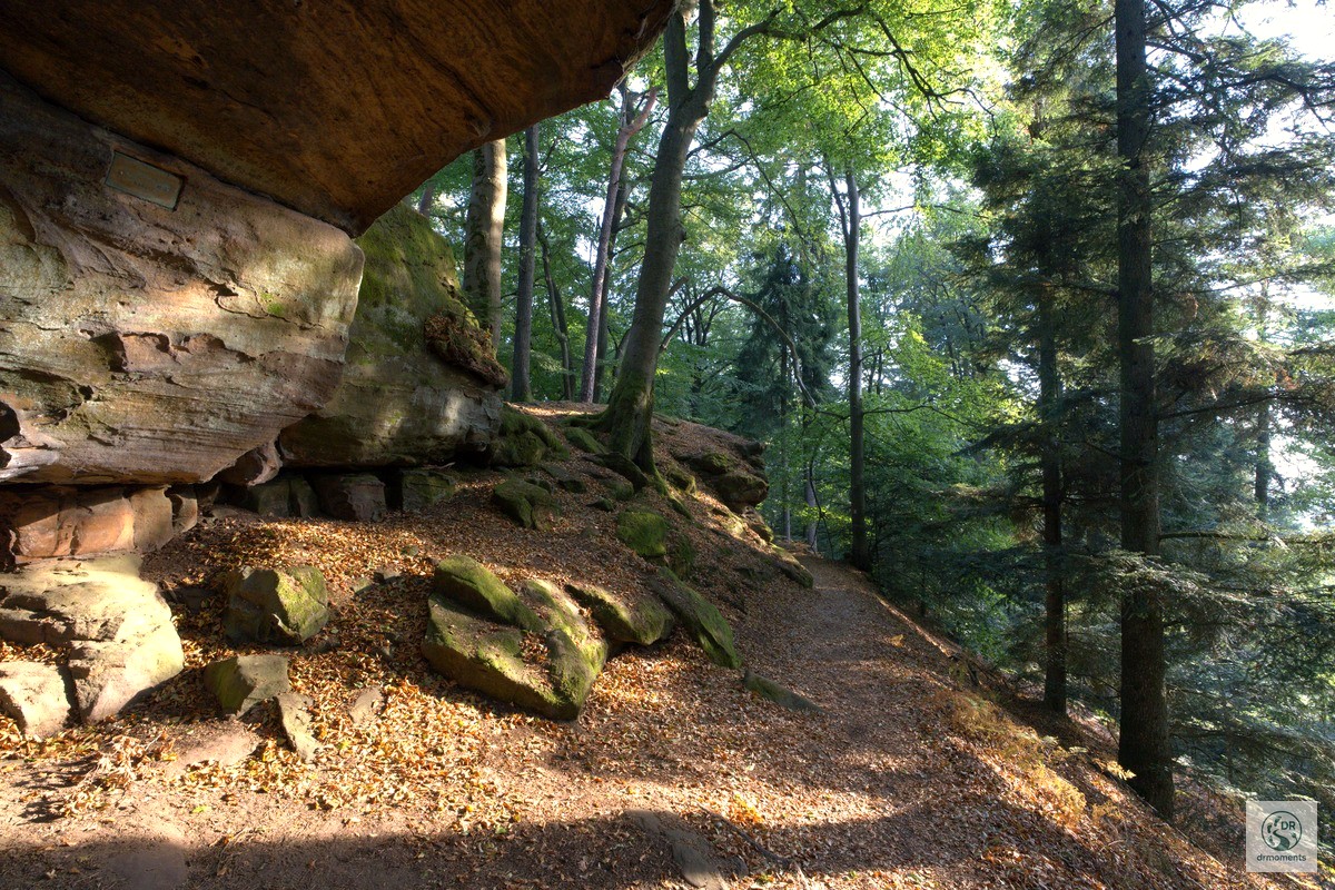
From the Hollerkanzel, the trail continues along the section of the “Felsenpfad” past numerous bizarre sandstone rock formations. “Bizarre” is the right word. Massive layered sandstone walls loom suddenly out of the trees, their reddish-orange faces striped with shadow and draped in moss. At one point a broad rock overhang frames the path like a natural gateway. You don’t need to be a geologist to find it impressive, though a geological educational trail leads through this section as well if you want the facts to go with the spectacle.
This part of the Kirkeler Tafeltour runs over soft, natural ground often interspersed with roots — sturdy shoes are genuinely useful here, not just a precaution. Flip-flops would end badly.
The Frauenbrunnen and a Celtic footnote
The mysterious Frauenbrunnen was already used by the Celts as a cult site — or so the story goes. Whether or not you believe it, the spring and its surrounding rock formations invite a pause. There is a seating area; I used it. The forest is quiet here, and the cool air near the stone makes the stop worthwhile even on a muggy summer day.
The castle ruin — glimpsed first, then revealed
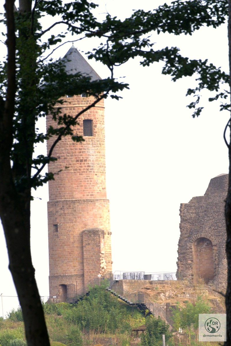
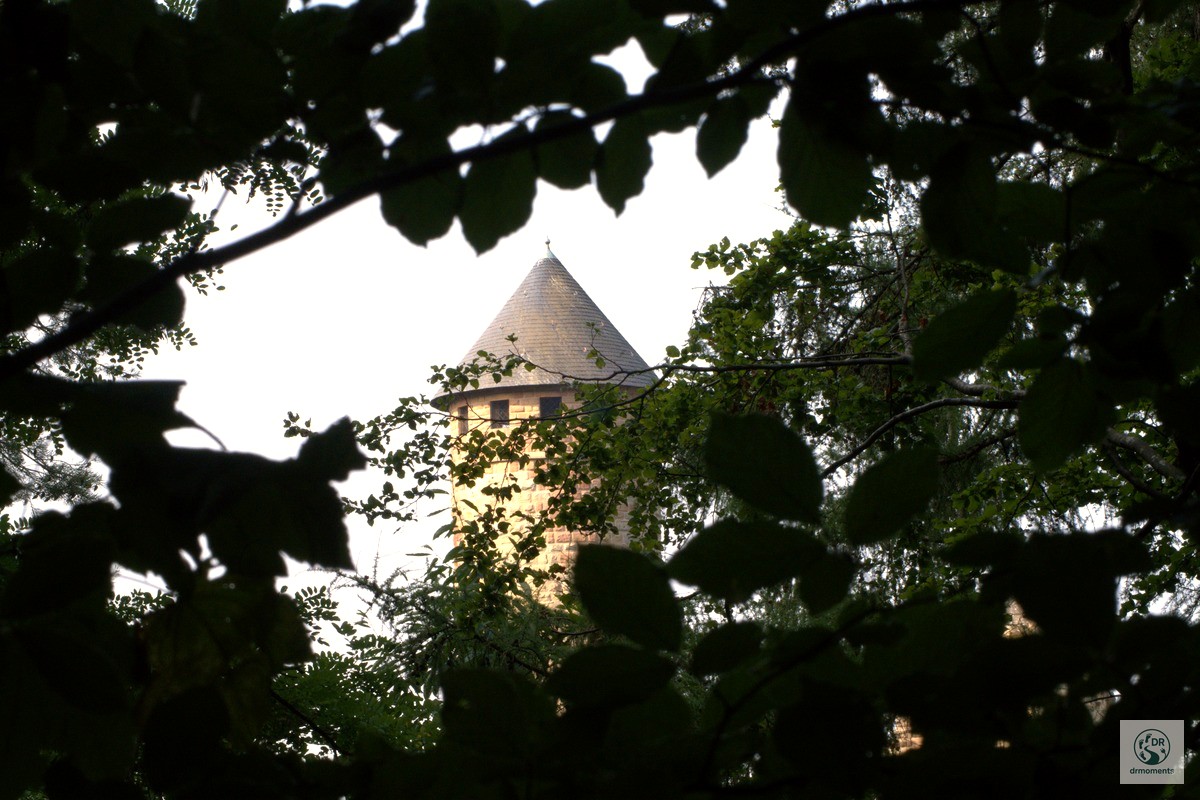
The first sight of Burg Kirkel comes through trees: the round tower appearing between slender trunks, hazy and slightly unreal, as though projected onto the forest backdrop. You see it before you reach it, which is exactly the right way round. At the edge of the village of Kirkel, the castle ruin towers impressively on a conical coloured sandstone rock. Up close, the tower is substantial — a tall, cylindrical drum of red sandstone blocks topped with a neat conical roof, flanked by crumbling curtain walls. The diffuse summer light gave the stonework a warm, almost peachy tone.
One detail worth knowing: due to their location in a core zone of the Bliesgau Biosphere Reserve, only one rock group is accessible for climbing — the so-called “Unglücksfelsen”. The rest of the sandstone crags are strictly protected, which is why the forest around them feels so undisturbed.
Practical notes
- Start/Finish: Car park at the Naturfreundehaus, Kirkel-Neuhäusel. Free parking; easy to find.
- Distance: 8.3 km round loop, well signposted.
- Elevation: Minimal — highest point around 359 m, lowest around 262 m. Suitable for most fitness levels.
- Terrain: Mix of forest tracks and narrow root-laced paths; sturdy walking shoes or light hiking boots recommended.
- Food and drink: The Burgschenke near Burg Kirkel offers refreshments; the Naturfreundehaus is also worth checking before you set off.
- Navigation: Many paths cross along the route — follow the Steinbock marker or the Tafeltour signs. When in doubt, bear right.
- Dogs: Fine on a lead; the forest floor is shaded and there are streams nearby.
The burgpanorama-weg sits in the Saarland and is one of those loops that earns its premium trail status honestly — not through grand panoramas but through the accumulated detail of sandstone faces, root-crossed paths, ancient springs and one very photogenic tower glimpsed through summer trees. Eight kilometres is exactly the right length: long enough to feel like a proper day out, short enough to finish with energy left for a cold drink at the end.