
'/%3E%3C/svg%3E)


The Traumschleife Altlayer Schweiz leads through slate rocks, stream valleys and open beech forests – 8.5 km that you won’t forget in a hurry.
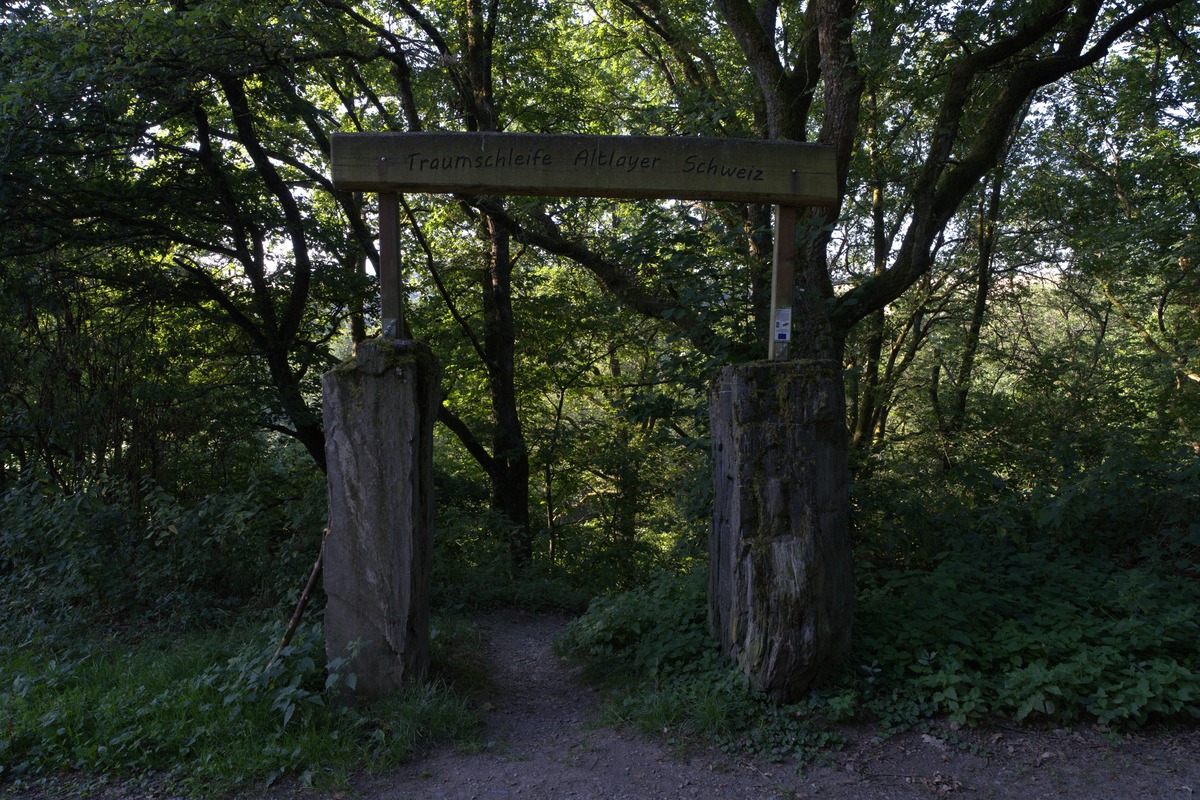
There are hikes where you know after the first bend: this is the right place. The Traumschleife Altlayer Schweiz is one of them. The starting point is at the barbecue area in Altlay, where a striking portal of two man-high slate blocks with a wooden crossbeam marks the entrance – a trail beginning could hardly be clearer.
Through the beech forest into the rock massif
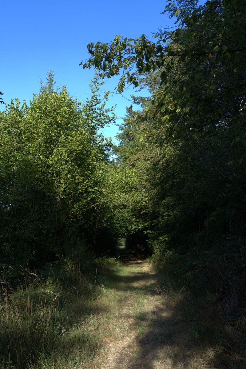
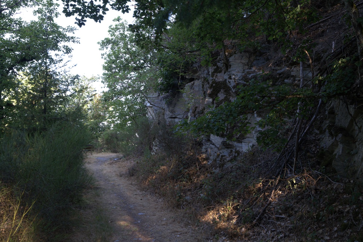
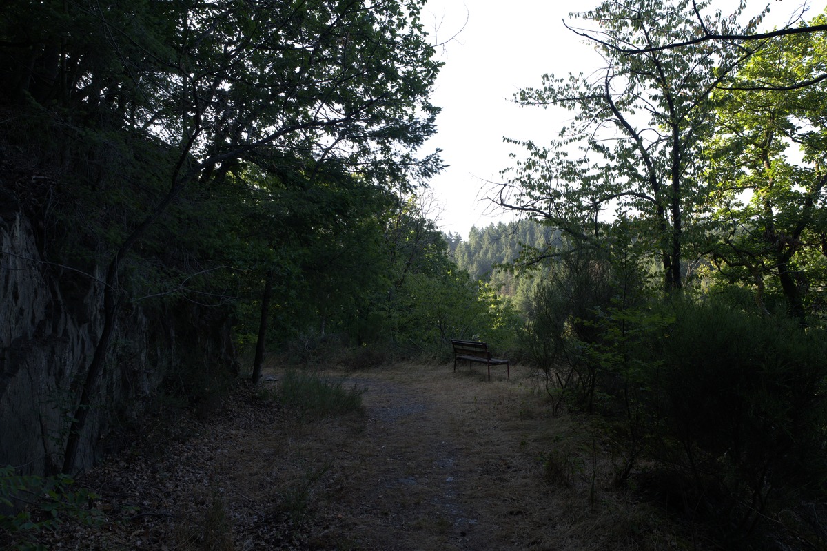
From the portal, an old, grass-covered farm track leads gently uphill at first. Then the character changes: narrow forest paths demand concentration, beech canopies filter the sunlight into luminous green backlight – exactly what I had in front of my lens in the first few metres. Anyone who walks slowly here and looks upward will understand immediately why this trail deserves its name.
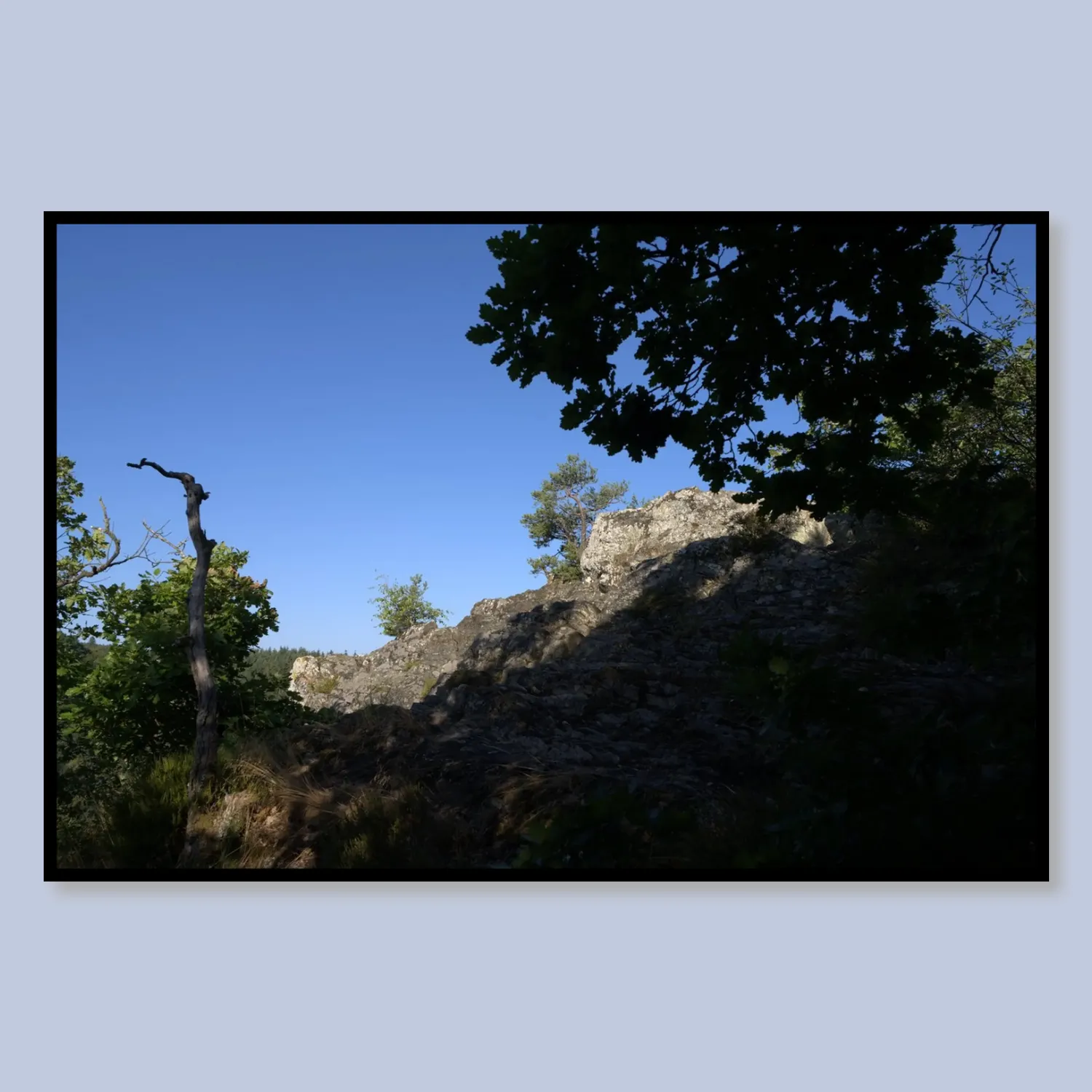
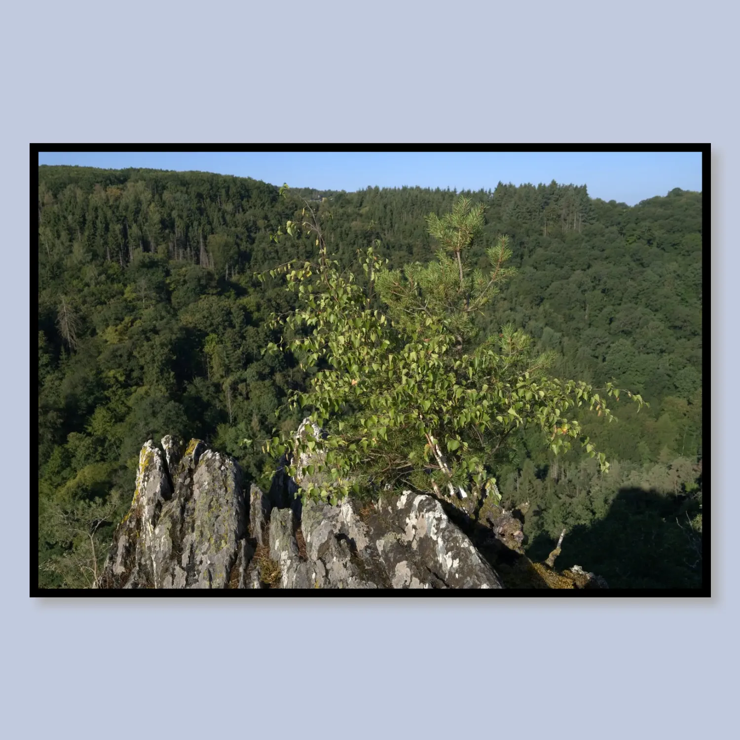
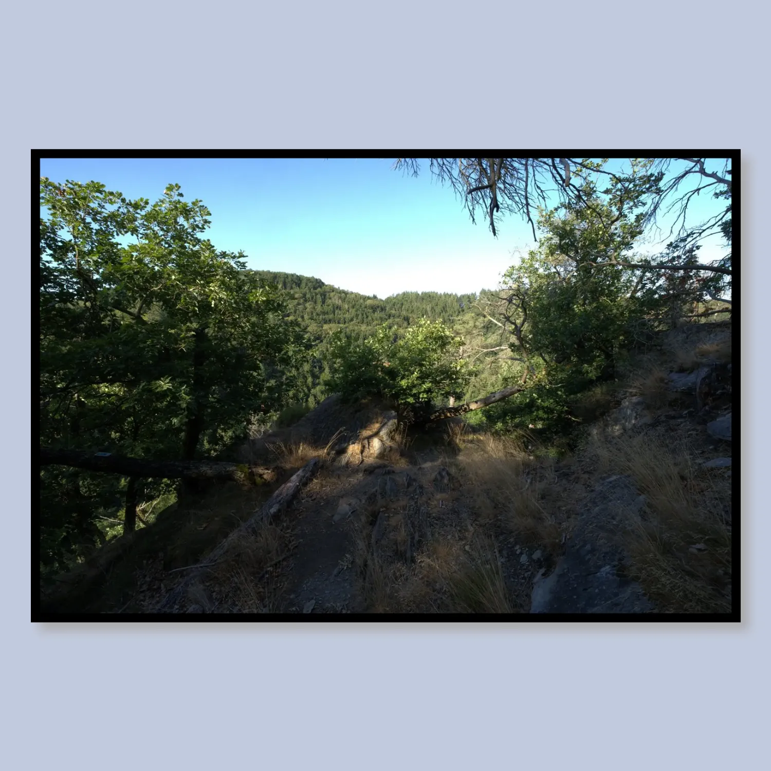
The highlight comes early: Die Altlayer Schweiz – a bizarre slate rock landscape, framed by the Hitzelbach and the Altlayer Bach. Rugged rock ridges covered in lichen and moss protrude from the slope, viewpoints open up over the deeply cut Hitzelbachtal. The view from the rocky outcrops stretches far: wooded hilltops, blue sky, and below the babbling of the stream – even if you can’t see it from above yet. The rock passages demand sure-footedness; in particular, the serpentine descent sections over slate can become slippery when wet.
Forest shelter, wayside cross and sweeping panoramas
Just before you reach the valley floor at the Hitzelbach, a covered forest shelter appears – an ideal resting spot after the descent. In the valley itself, the path follows a narrow trail directly alongside the water, calm and almost a little enchanted. Then it heads upward again, past a white wayside cross beneath summery green trees, standing quietly as an orientation point at the trailside.
At the highest point of the tour, just over 400 metres, a generous reward awaits: a sweeping panoramic view over ripe grain fields and gentle hilltops all the way to the wind turbines on the horizon. Up here there is a wave lounger and rest benches – lying down for ten minutes is not a weakness, it’s a duty. A so-called picture frame is also installed at the viewpoint, deliberately directing the gaze out into the distance.
Worth noting: the Traumschleife Altlayer Schweiz was nominated in 2026 by Wandermagazin for the “Germany’s most beautiful hiking trail” vote – as one of only a few routes nationwide in the routes category. That’s not a marketing phrase, but a concrete indication of how well this trail performs compared to thousands of others.
The return route: field paths and forest tunnels
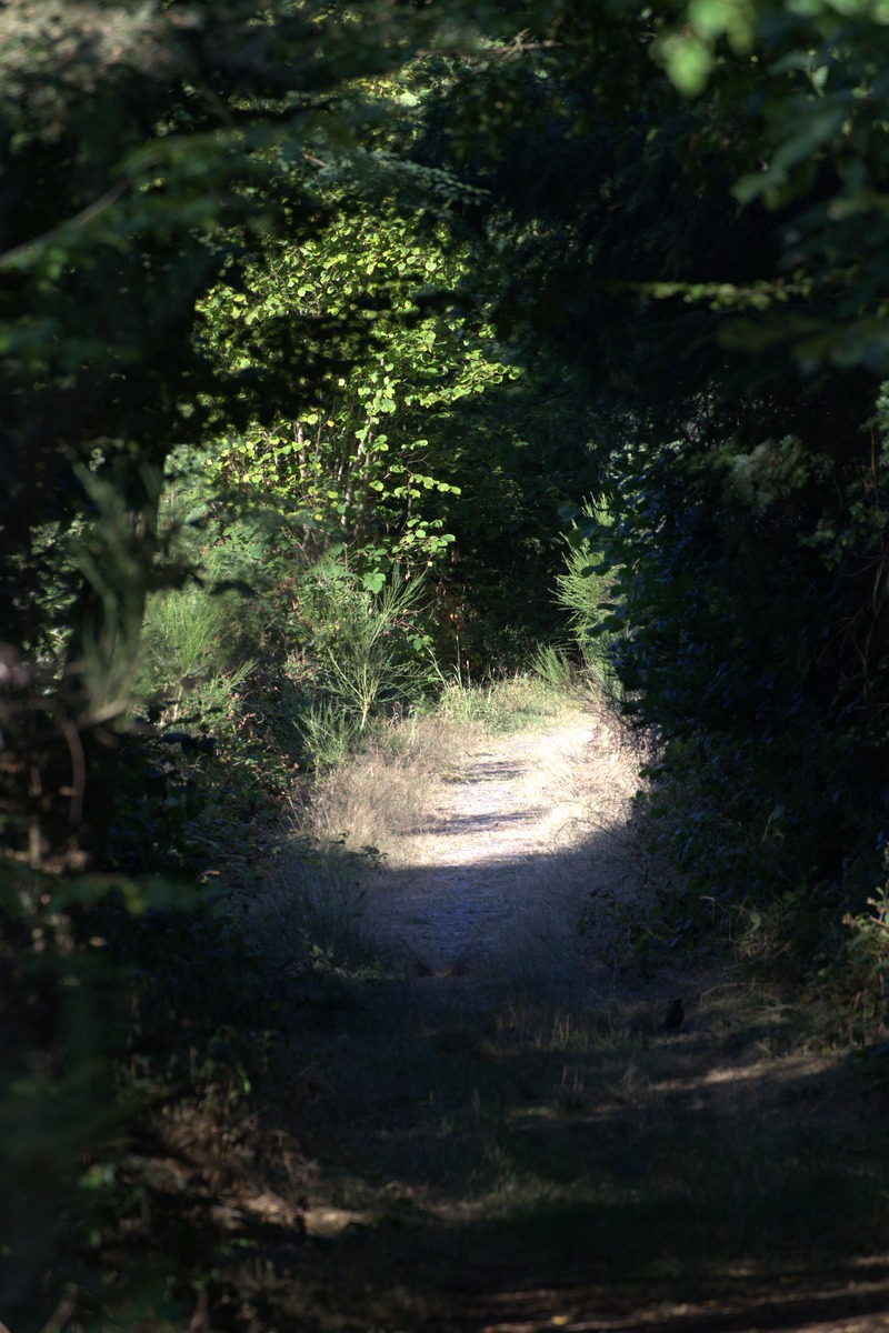
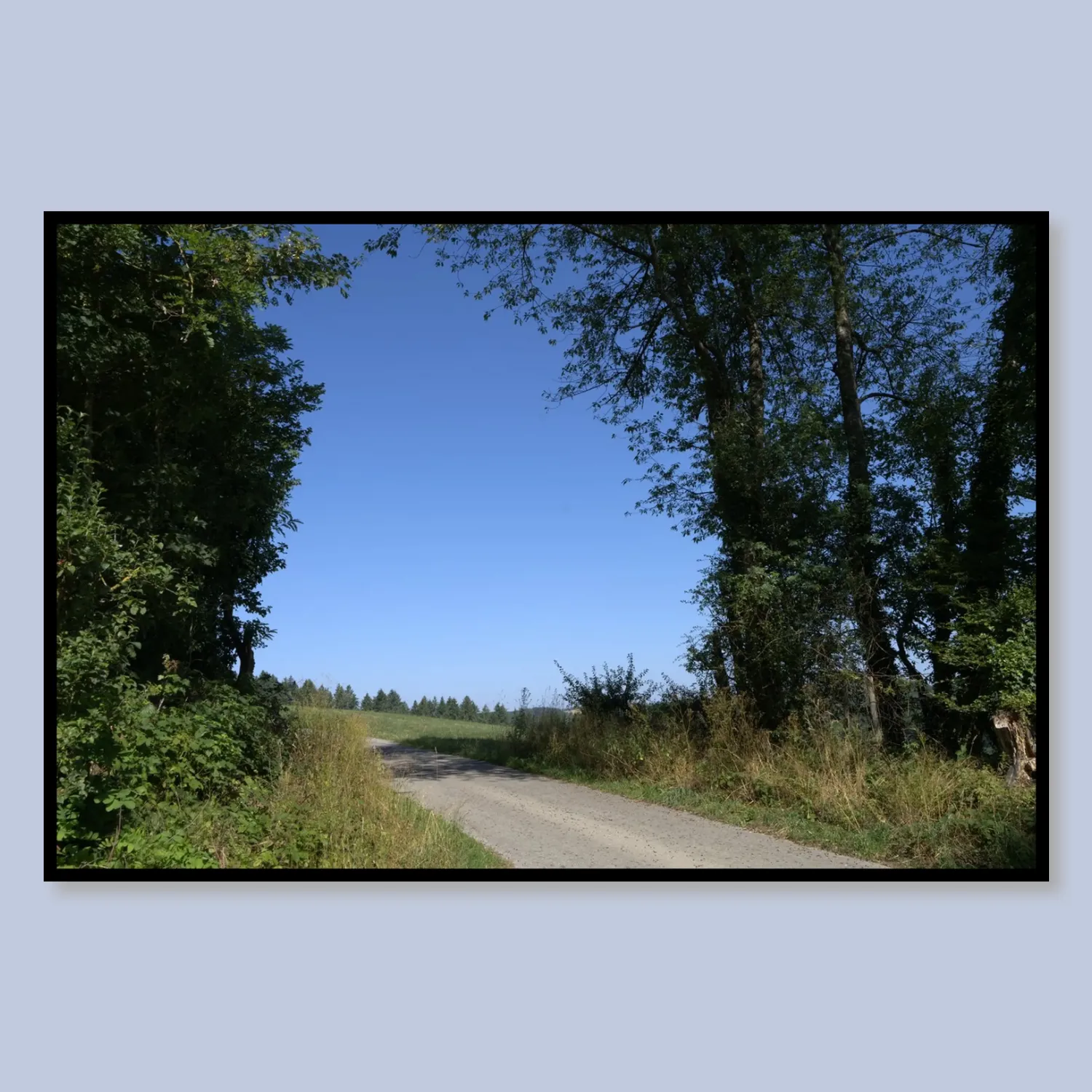
The descent from the high point back to Altlay leads over gravelled country roads between trees and open hilly landscape, then back into narrow forest paths – green tunnels you practically drink in after the midday heat. Gnarled pines with striking branches appear at the trailside, some of them moss-covered on rocky outcrops, almost sculptural in their form. The final section along the forest edge is relaxed and gives your legs time to settle down.
Practical info at a glance
- Distance: 8.5 km (loop, returning to the starting point)
- Elevation gain: approx. 190 m (min. 223 m, max. approx. 412 m)
- Starting point: Barbecue area/portal Altlay in Altlay – parking directly at the recreation area is possible
- Getting there: Altlay is located in the northern part of the Hunsrück between Hahn Airport and the Mosel; easily accessible via the B50
- Duration: approx. 2.5 to 3 hours, without long breaks
- Difficulty: Moderate – sure-footedness required on the rock passages, narrow sections can be slippery in rain
- Equipment: Ankle-high hiking boots are not a luxury but a necessity; poles help on the descent
- Refreshments: Forest shelter in the valley as a rest stop; restaurants in Altlay itself or in the surrounding villages
- Best time: Late spring to autumn; summer offers rich colours and long views, autumn turns the beech forests golden
- With a dog: Possible – a few wooden steps need to be managed, observe leash rules
The tour is also part of the Saar-Hunsrück-Steig network – those who want more will find connections here to longer stages through the region.
Bring the Traumschleife Altlayer Schweiz to your wall
My photos from this tour are available as high-quality posters — printed and delivered by Juniqe.
* Affiliate links: If you make a purchase, I receive a small commission – the price does not change for you.