
'/%3E%3C/svg%3E)


The Nahe-Felsen-Weg takes you past a church carved into the rock, high above rooftops and river valley — across 9.5 km that demand a fair amount.
A loop that is more than a stroll
Anyone who underestimates the Traumschleife “Nahe-Felsen-Weg” because it’s “only” 9.5 km will be set straight at the first iron ladder at the latest. The trail is officially rated as difficult — and rightly so. Steep ascents and descents alternate, ropes assist with the climb at some sections, and the ground is often narrow and rooty. But that’s exactly what makes it interesting.
The start: right in the old town of Idar-Oberstein
The trail starts in the historic old town of Idar-Oberstein, Landkreis Birkenfeld. If you’re coming by car: the hiking car park at the Schlossweiher is the stress-free choice — free of charge, well signposted and without the usual inner-city chaos. From the train station, walk through the pedestrian zone towards the Marktplatz and then follow the signs uphill to the Felsenkirche. The signposting is exemplary — you can hardly go wrong.
The Felsenkirche is the first great exclamation mark of the trail. It literally nestles into a rock face, was built in 1482 and is a landmark of Idar-Oberstein that has no equal in Germany. I was there on a summer morning — the warm light on the red stone makes it one of the most powerful photographic subjects on the entire route.
Through the forest, up to the rocks
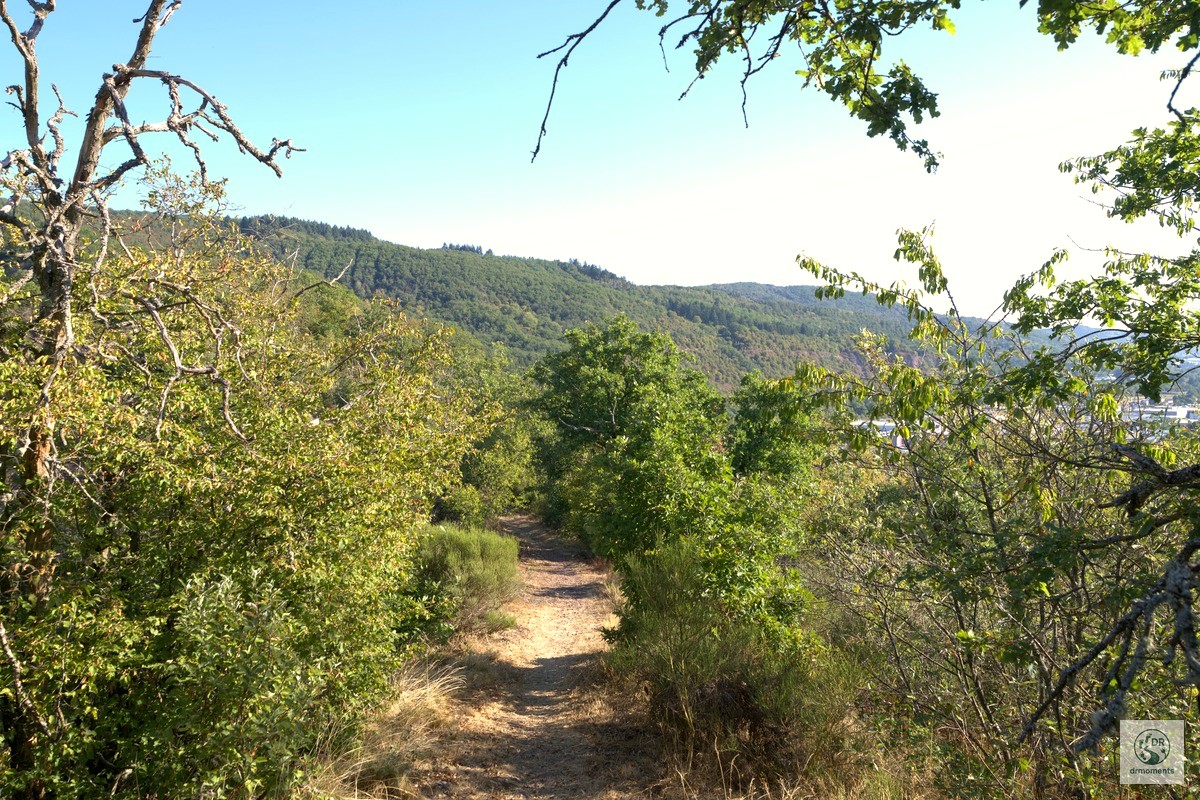
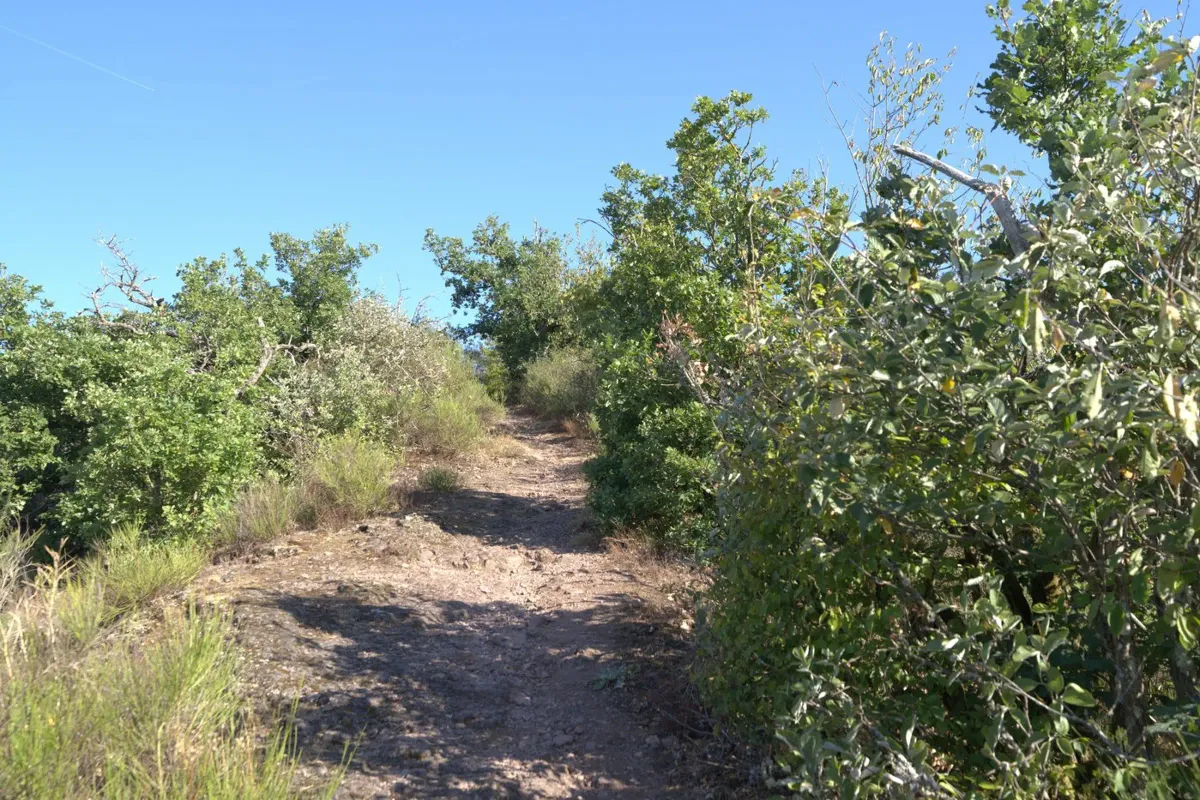
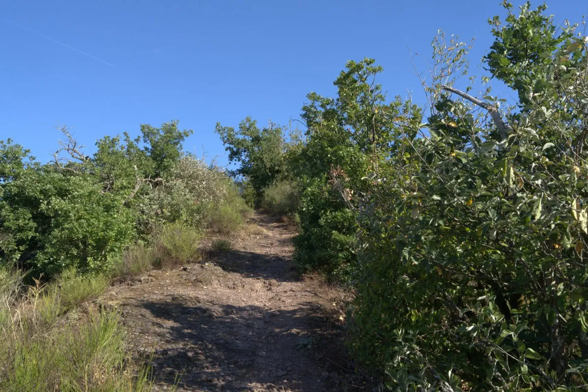
After the Felsenkirche, the trail enters the Obersteiner Stadtwald. Narrow dirt paths wind through dense foliage, the canopy opening up repeatedly to the blue summer sky. The air smells of warm resin and dry undergrowth — typical of the hillside slopes above the Nahe valley. Keep your eyes open and you’ll spot lizards darting along the sunnier stretches of the trail.
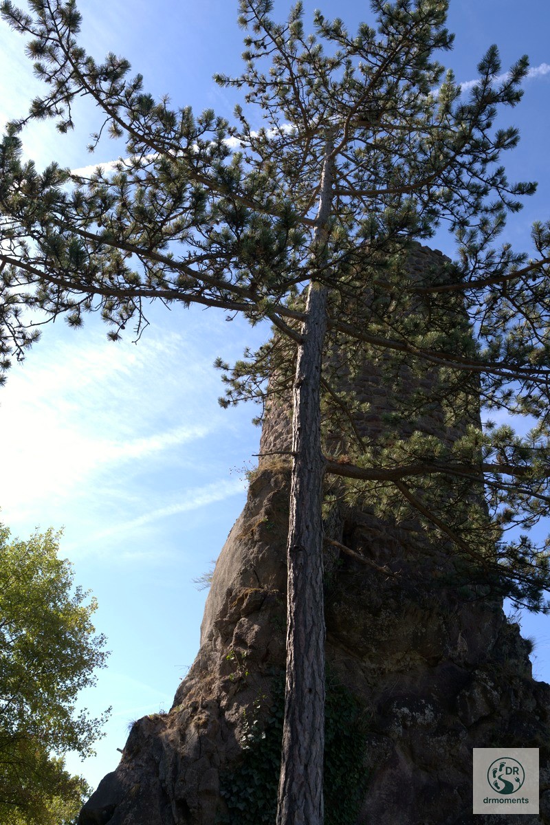
The rhyolite rock formations along the trail are a subject in their own right. The bizarre stone — volcanic in origin, threaded with visible quartz veins — rises from the forest floor like natural towers. One of these rock towers is a true natural monument: a slender pine tree stretches skyward right beside it, giving the scene a depth no drone can match. For photography, it’s worth getting close to the base of the rock and looking steeply upward.
The middle: Burgruine Bosselstein and wide-open views
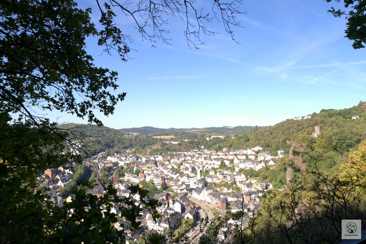
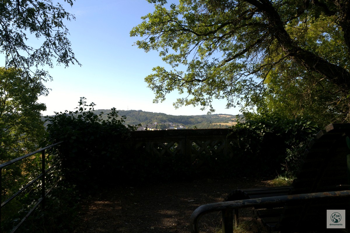
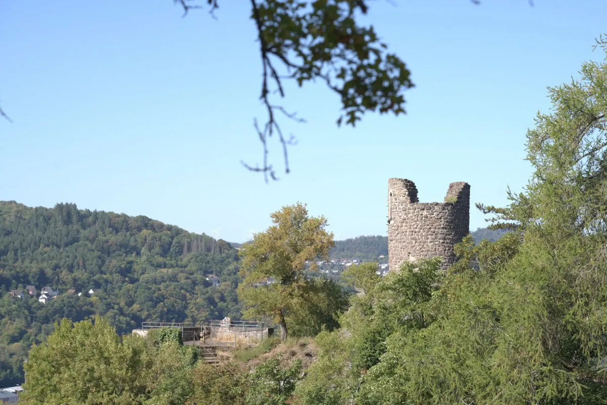
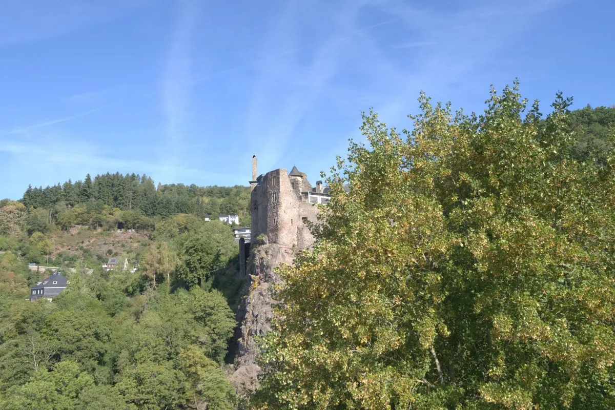
Somewhere in the middle of the loop — legs already well tested — the Burgruine Bosselstein comes into view. It sits enthroned on a steep rock, surrounded by deep summer green, and the view from there into the forested Nahe valley is one of those moments you go hiking for. The metal railing at one of the viewpoints just before it makes the perfect foreground: castle ruin, rooftops of the town, river valley — all in one shot.
If you pause here for a moment and have binoculars with you, you might be in luck: rare birds such as eagle owls, rock buntings and kestrels nest in the rocky slopes of the Altenberg nature reserve — a little-known fact that makes the trail even more interesting.
The descent: hillside forest, light and the Nahe valley from above
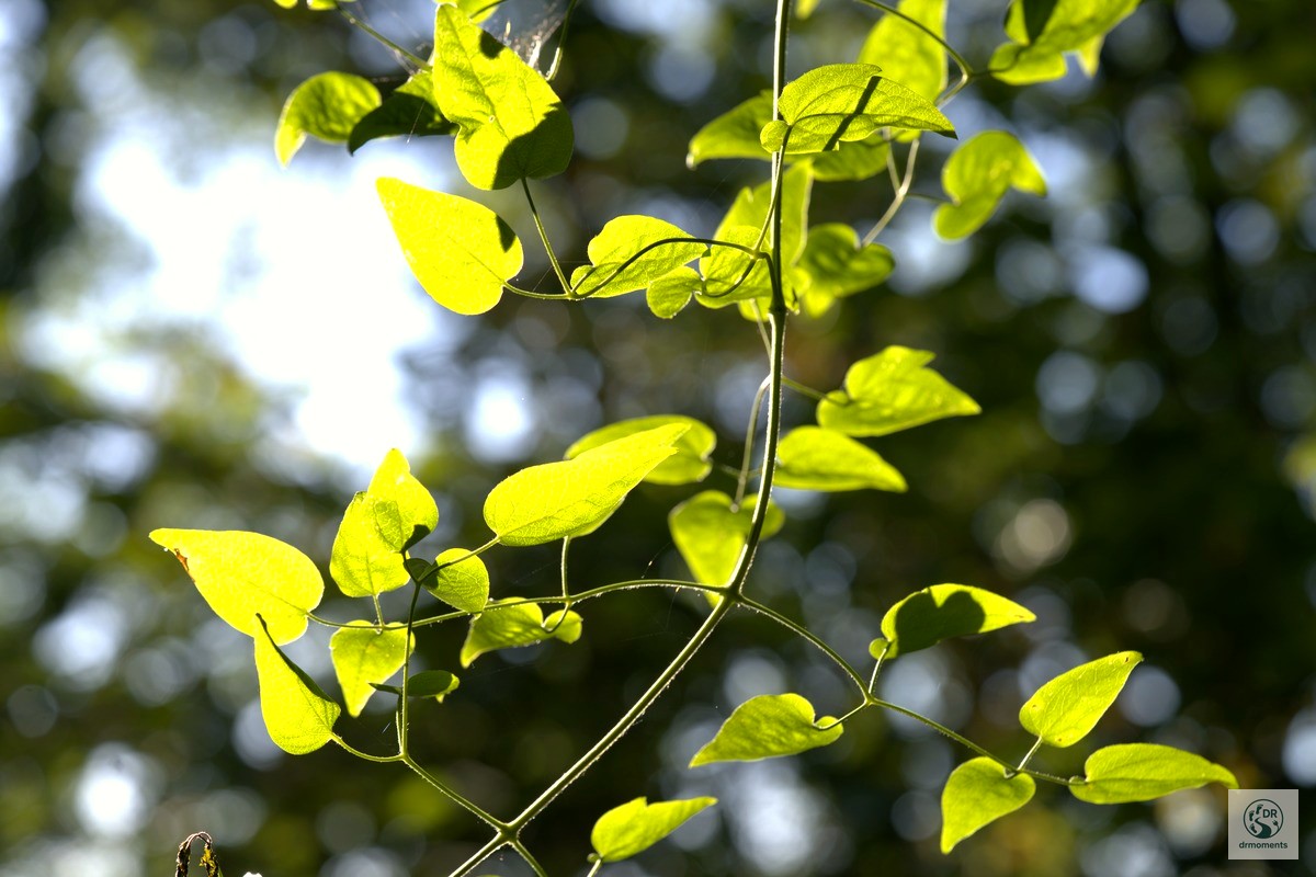
The second half leads through shady hillside forests back down into the valley. Light falls in strips through the leaf canopy, climbing plants wind their way up trees — photographed against the sunlight, their heart-shaped leaves glow like green glass. Individual viewpoints with old stone parapets hint at a long history as a popular destination for day trips.
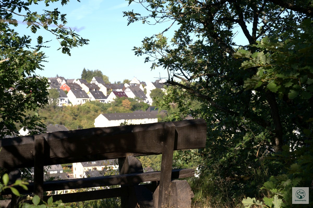
At the Schlossweiher, shortly before the end of the loop, benches and a barbecue hut invite you to take a final break. By this point the steepest sections are behind you and you can take your time looking out over the valley basin. The trail lies in the Hunsrück — you feel that more in the stillness of the forest section than in any road sign.
Practical info at a glance
- Start/finish: Hiking car park Schlossweiher, Idar-Oberstein — or old town/Marktplatz
- Distance: 9.5 km, as a circular route
- Elevation profile: Start approx. 396 m, lowest point approx. 244 m, highest point approx. 467 m
- Difficulty: Difficult — steep sections, partly secured with ropes, narrow paths
- Getting there: By train directly to Idar-Oberstein (well connected); by car the Schlossweiher car park (free of charge) or the multi-storey car parks Austraße/Stadttheater in the town centre
- Refreshments: In the old town of Idar-Oberstein right at the start/finish; cafés and restaurants in the pedestrian zone
- Equipment: Sturdy hiking boots with grip are essential — the paths become slippery when wet; bring water, little opportunity for refreshments along the way
- Best time of year for this trail: Spring to autumn; in August an early start is worthwhile for ground-fog atmosphere over the Nahe valley from the viewpoints
What you shouldn’t miss
If you have the time: the Deutsches Mineralienmuseum in Idar-Oberstein is worth a detour. The town looks back on over 500 years of gemstone history — if you look closely, you’ll find quartz veins and the characteristic rhyolite rock along the trail that makes this region geologically unique. No museum needed — the exhibition is right on the path.
Stay in the region — holiday apartments around Birkenfeld.
View accommodation in Idar-Oberstein
* Affiliate link: If you make a booking, I receive a small commission — the price does not change for you.
Put the Traumschleife “Nahe-Felsen-Weg” on your wall
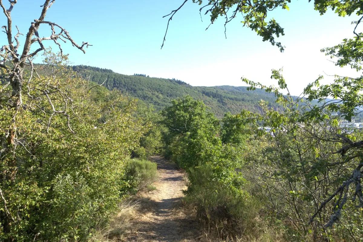
My photos from this trail are available as high-quality posters — printed and delivered by Juniqe.
* Affiliate links: If you make a purchase, I receive a small commission — the price does not change for you.