


Low-hanging sun, tree silhouettes in golden red, ancient boundary stones in the fallen leaves – the historische Grenzweg Oberthal delivers everything at once.
When the forest is on fire – and the sun has only just risen
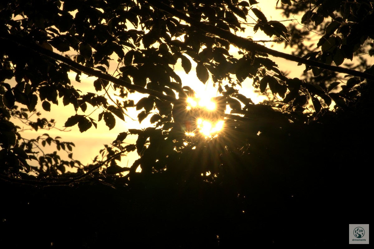
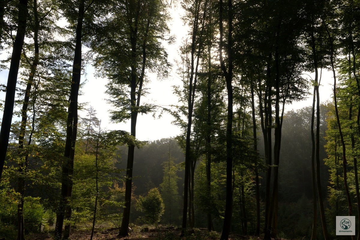
There are hikes where you pull out your phone within the first few minutes and never put it away again. The loop “Über den historischen Grenzweg bei Oberthal (Saarland)” is one of them. I was out just after seven in the morning – the sun barely a hand’s width above the horizon – and the light filtering through the tree canopy was simply unreal. Warm golden red breaking through dense branches, leaves that looked as if they were glowing, and behind them a sky in pure orange. I really wished I’d had a tripod with me.
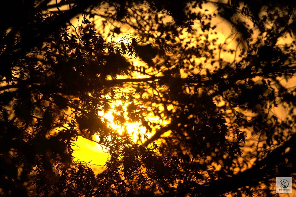
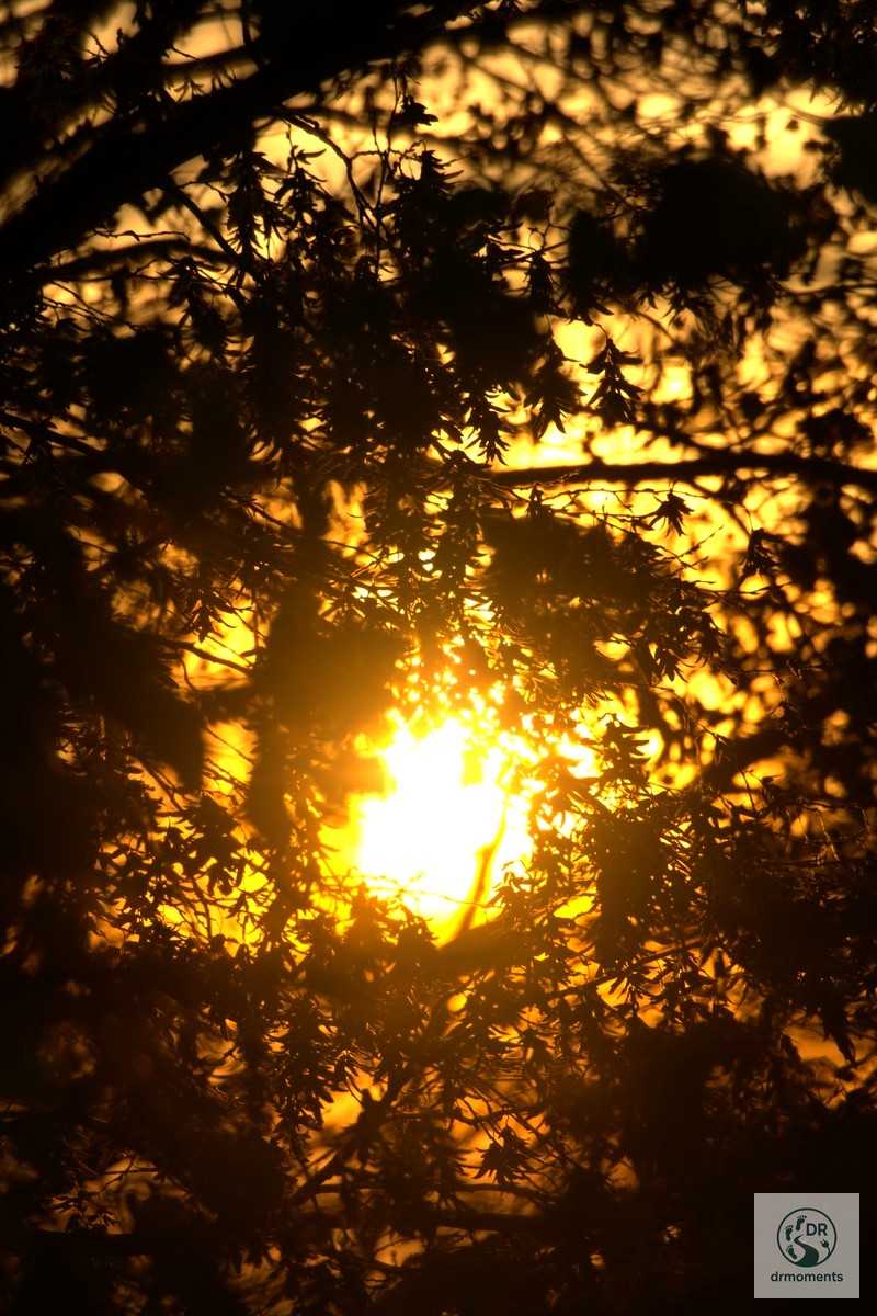
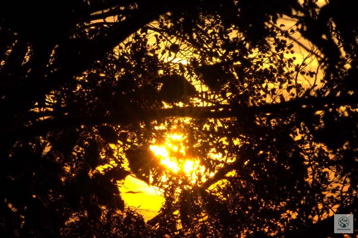
The tour: 9.9 km with history underfoot
The loop starts and ends in Oberthal in the Landkreis St. Wendel and measures exactly 9.9 km. The elevation profile is pleasant: it goes up and down between around 403 and 514 metres, the trail is rated as moderate, but is in places left in its natural state – sturdy footwear is essential, and after rain the forest paths can get muddy.
What sets this tour apart from a regular walk in the woods: the historical Grenzweg Oberthal follows the traces of the former Saargebiet border from 1920 to 1935. Along the route stand boundary stones inscribed with an “S” for Saargebiet and a “D” for Germany – the notch on top of each stone even indicates the exact course of the border. The Verein für Geschichte und Heimatkunde Oberthal spent years tracking down these stones, uncovering them and incorporating them into the hiking trail. A small, remarkable piece of contemporary history that you can quite literally feel beneath your hands.
What to expect along the trail
The trail runs mostly through forest – quiet, with barely any other hikers, and occasional clearings that open up wide views across the surrounding hill country. In the valleys lie near-natural streams and wetland areas; on the slopes, deciduous and mixed woodland alternate. In autumn, when the foliage displays its full colour palette, every bend in the path becomes a photo opportunity.
Particularly impressive are the old sunken lanes: narrow paths that wind their way deep between moss-covered earthen walls. Light falls here in long shafts – exactly what I captured in my shots just after sunrise. Those who start early are rewarded with this atmosphere as a gift. The golden hour lasts no more than 20 minutes here, but it’s worth setting the alarm early.
- Historical boundary stones with original inscriptions (S/D) and border notch
- Viewpoints with views across the Primstal and the wooded ridge lines
- Old sunken lanes and natural forest paths
- Streams and wetlands in the valley hollows
- Wayside chapels and crosses in the rural surroundings of Oberthal
Practical information for the tour
Getting there and parking
Oberthal is located in the Landkreis St. Wendel, easily accessible via the B 41. A signposted car park for hikers is located at the Kapellenwiese in Gronig – from there you can head straight into the loop. This is also the starting point of the official boundary stone trail, which was signposted by the local history society.
Refreshments
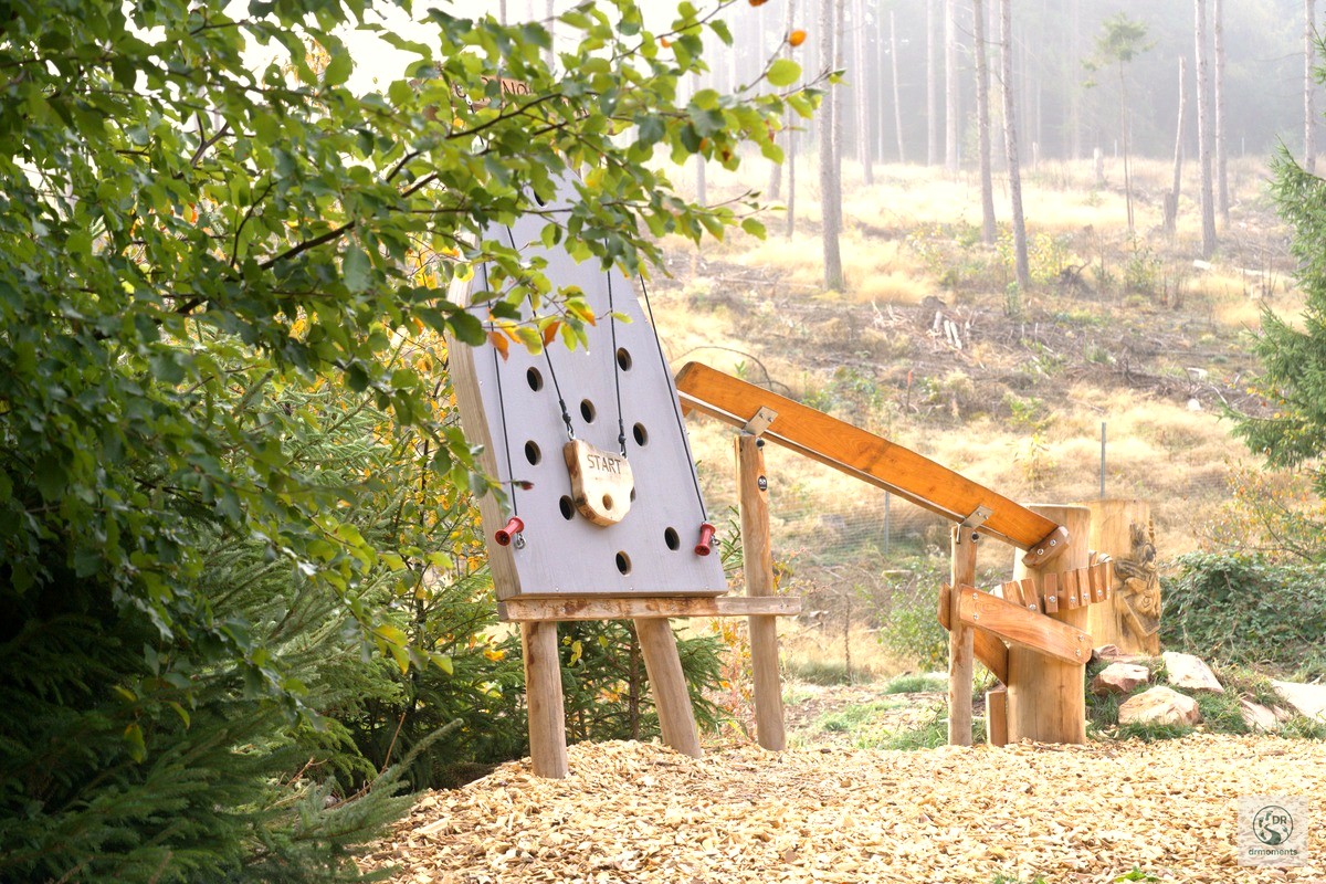
There is hardly any catering directly along the trail – anyone planning a break should pack provisions. In Oberthal itself there are places to stop for refreshments. For families: at one section of the trail there is a small natural play structure by the wayside – a welcome break when you have children along.
Equipment
Sturdy hiking boots are essential, gaiters are recommended after rain. For those who want to take photos: a tripod is worthwhile – especially for backlit shots through the foliage. For the sunstar effect, set the aperture to f/11 to f/16 and position the sun just behind a branch.
Best time of year
Early October is my clear recommendation: the mixed forest is dressed in rich autumn colours, the mornings are cool and bring mist into the valleys, and the light just after sunrise has that particular depth and warmth you simply don’t get at any other time of year. The trail is accessible all year round, but in autumn it is simply at its most beautiful.
Insider tip: trail map from the local history society
For anyone who really wants to find all the boundary stones: the Verein für Geschichte und Heimatkunde Oberthal has published a leaflet containing a detailed trail map and background information on the history of the Saargebiet border. This is no mere tourist pamphlet – it contains genuine local historical research, and afterwards you look at the stones through different eyes. You can find the Komoot track for the tour here: komoot.com/tour/3325564624.
Stay in the region – holiday apartments around St. Wendel.
View accommodation in Oberthal
* Affiliate link: if you make a booking, I receive a small commission – the price does not change for you.
👕 My product recommendation
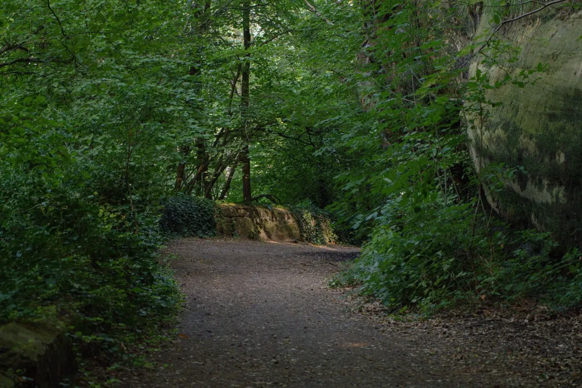
Felspfad im alten Buchenwald — Licht am Ende poster
Dark rocks, moss-green trunks and a glow of light shining from deep within the forest — this moment was captured on the Burgpanorama Weg in Saarland, where the path winds between sandstone and beech trees. As a wall print it feels calm and unsettled at the same time, like a place just
🖼️ Wall print
* Advertising / affiliate link: if you make a purchase, I receive a small commission – the price does not change for you.

📖 My book recommendation
Mist over the Rötelsteinpfad
Hiking crime novel – gripping, nature-connected, authentic
3.99€ · Kindle eBook
* Advertising / affiliate link: if you make a purchase, I receive a small commission – the price does not change for you. As an Amazon partner, I earn from qualifying purchases.