

The Mullerthal W7 winds 10.6 km through mossy gorges and sunlit woodland — here's what the trail actually looks like.
The alarm went off early, the car park was still empty, and the first light was slanting golden through the trees. That is the right way to start the Mullerthal W7 — before the day-trippers arrive, while the streams are still murmuring to nobody in particular. This 10.6 km loop starts in Consdorf, Kanton Echternach, and I can tell you now: it earns its reputation without any help from a marketing department.
How the Trail Begins
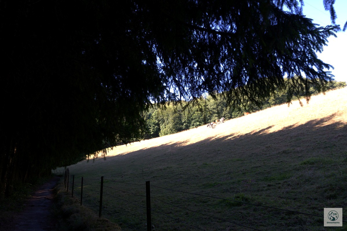
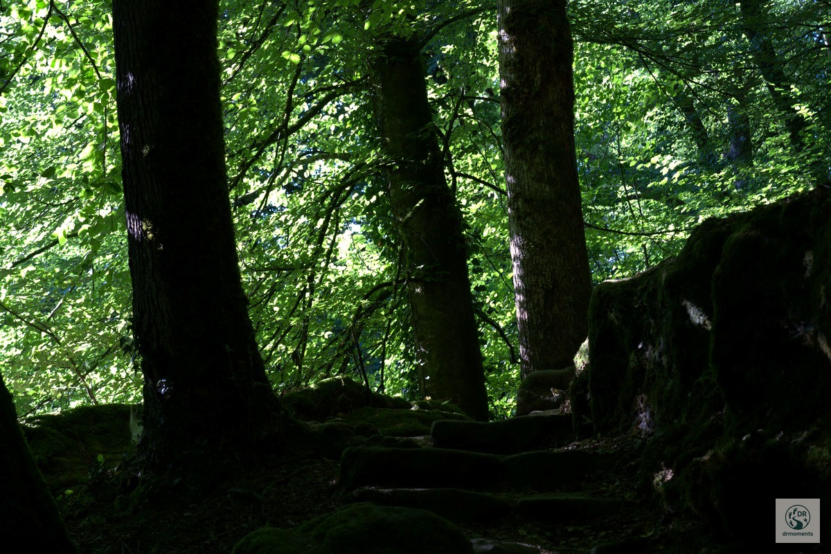
The opening section from Consdorf sets the tone immediately. A spacious playground area with a stainless-steel climbing frame and wooden swings sits tucked between deciduous hillsides under an open sky — a handy landmark for orientation and a welcome spot if you are bringing younger companions. Beyond it, the path quickly loses its suburban feel. A narrow forest track fringed with tall ferns and mixed conifers draws you in under a canopy that turns the summer heat into something gentle and dappled. The ascent is real — the trail climbs from around 214 m up to roughly 370 m — but it comes in stages, and the shade makes it easier than the numbers suggest.
The Gorge Section: Where the Trail Gets Serious
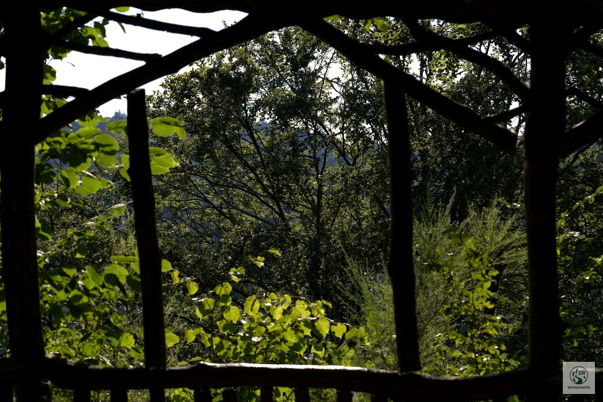
The middle section is where the Mullerthal W7 shows its best cards. A mossy wooden shelter tucked against the forest slope offers the first proper rest; sit here long enough and you start to feel what the Mullerthal does so well — the particular quiet of a place where sandstone, water and vegetation have been in conversation for a very long time.
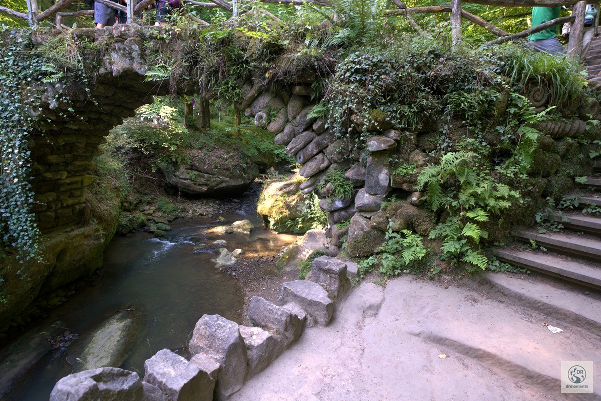
Then the stream appears. The Schwarze Ernz (Black Ernz) works its way between mossy boulders and overhanging rocks draped in ivy and ferns, and the light drops to something cool and diffuse. A stone bridge arches over the clear water, its masonry so thoroughly colonised by moss and climbing plants that it looks more grown than built. The surrounding streams offer a lot for the eye along this section — and near here, you pass the site where the skeleton of the Loschbour man was found, a hunter-gatherer who lived in this valley more than 8,000 years ago. That piece of information changes how you look at the rocks a little.
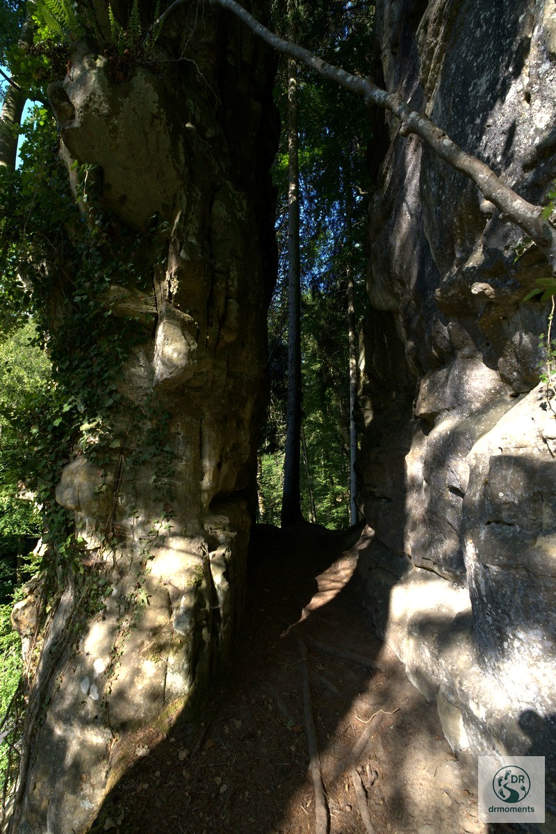
A little further on, the path narrows between two stone walls layered with sandstone slabs, each ledge claimed by ivy, lichen and creeping ferns. The light is barely there — you are in a slot between old geology — and the silence is complete except for the water below. This is the detail that makes the Mullerthal W7 worth the detour over better-known alternatives.
The Return Leg
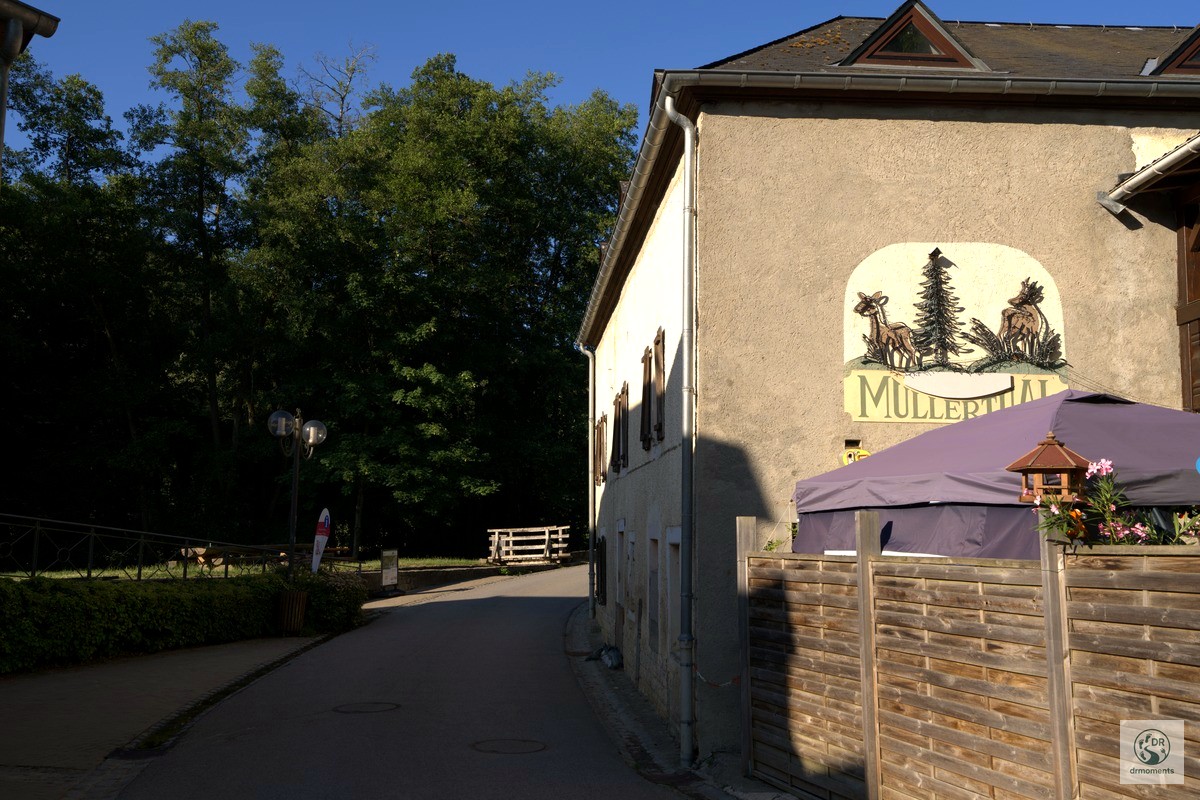
The second half opens back up into sunlit mixed woodland. A narrow asphalt lane — marked with a barrier post — cuts briefly through the trees before the path ducks back into the forest for the final approach to Consdorf. The streams reappear: clear water flowing over moss-covered rocks, beech and oak throwing patches of warm, filtered light across the path. There is another old stone arch bridge before the trail flattens out, and it is just as photogenic as the first one.
The trail starts with a steep climb to a wooden hut in the forest, continues on narrow paths along numerous rock formations and bubbling streams, and the second half offers one highlight after another. That official summary is accurate, which is not always the case.
Practical Notes
- Starting point: Consdorf, Kanton Echternach. Parking is available in the village centre, close to the playground area visible in the opening section of the trail.
- Distance & elevation: 10.6 km, with a low point around 214 m and a high point of roughly 370 m — moderate overall.
- Trail surface: A mix of forest tracks, sandstone paths, narrow gorge passages and short asphalt sections. Wet rocks in the gorge can be slippery.
- Footwear: Sturdy hiking boots with grip are genuinely necessary in the gorge sections, not just advisable.
- Food & drink: Heringer Millen in the village of Müllerthal was once one of the most important mills in the region and now houses a restaurant and a tourist centre — worth a stop if you extend your day.
- Current closures: Part of the W7 trail near Kallektuffquell and Schiessentümpel is currently closed due to maintenance and forestry work; hikers must follow the signposted diversion, as the usual route to the tuff spring and waterfall is impassable. This temporary route change is expected to remain in place until fall 2026. Check the official Mullerthal Trail website before you go.
- Best time of day: Early morning in summer — the gorge stays cool, the light is beautiful, and you will likely have the stone bridges to yourself.