

The Teno-Hochfläche hike leads through blooming stone villages, laurel forest and vast Atlantic panoramas — 9.5 km of pure contrast.
There are hikes that tick a box, and then there are hikes that quietly rearrange your sense of what an island can be. The Teno-Hochfläche hike on the Teno-Hochfläche (Teneriffa) route is firmly in the second category. At 9.5 km, the loop feels generous without being punishing — the elevation profile swings from around 537 m at the start all the way up to 972 m, which means you earn those panoramic views with your legs rather than a cable car.
How the route begins: stone walls and blooming doorsteps
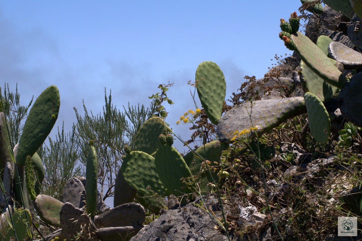
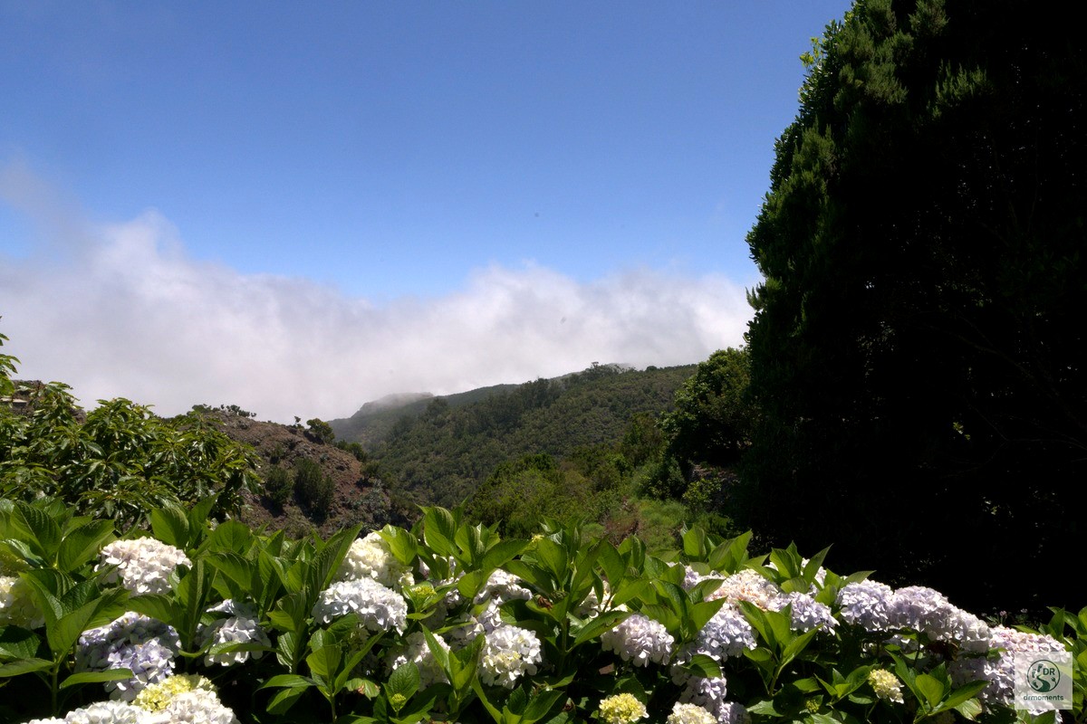
The hike sets off through a cluster of traditional stone-built houses whose walls are as thick and rough as anything you’d find in a medieval fortification. What catches you off guard is the riot of colour at their feet: red, pink and yellow flowers tumble over low lava-rock borders in a scene that looks almost too cheerful against the pale granite. The village lane here, lined with Opuntia cacti on volcanic outcrops a little further on, makes the opening kilometre feel more like a botanical walk than a mountain hike — but don’t be fooled, the terrain is about to earn its reputation.
Into the highlands: the rock figure and the laurel scrub
Once you leave the last stone wall behind and the path steepens, the landscape shifts completely. Dense macchia and laurel scrub press in on both sides, and above the treeline a rock formation rises from the ridge that, from the right angle, looks unnervingly like a human silhouette — one of those natural landmarks that makes you stop mid-stride and reach for your camera. The trail winds through this green corridor with a clarity that makes navigation straightforward, even without a guide.
Worth knowing: the Teno Rural Park sits among the four protected areas on the island that concentrate its most spectacular walking routes. The park’s isolation has also helped preserve its ecological and cultural character over centuries, which is why the old farmsteads up here still feel genuinely lived-in rather than staged for visitors.
The plateau: above the clouds
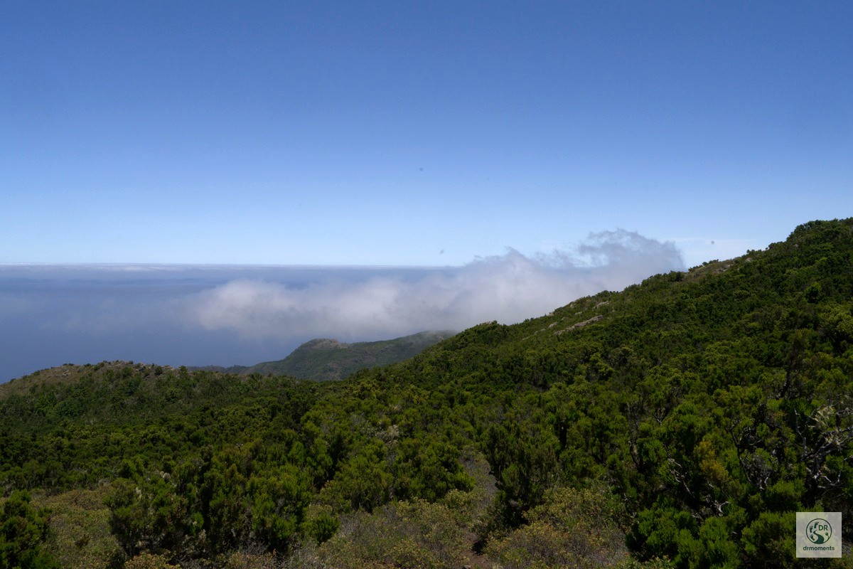
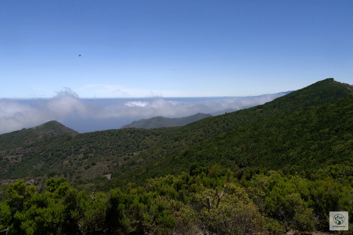
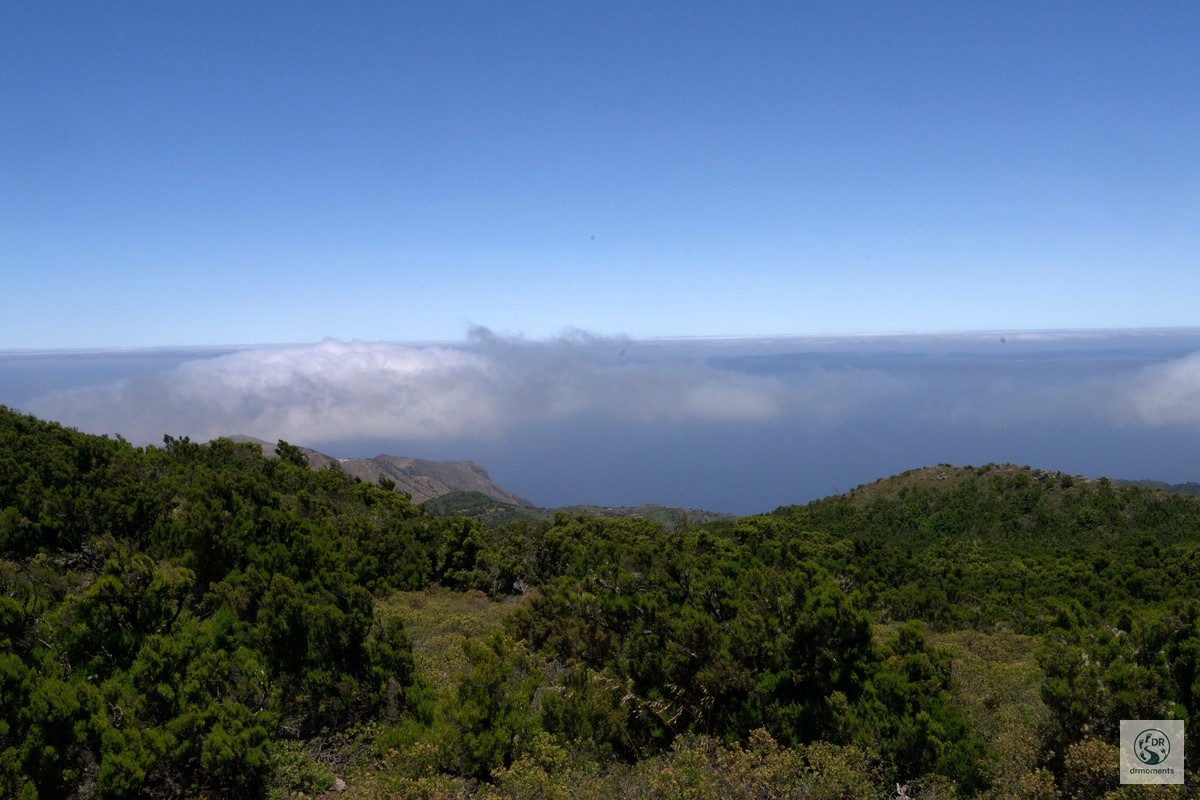
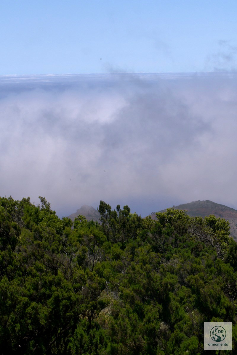
Reaching the upper plateau is the moment the hike reveals its trump card. The heather-covered terrain opens up abruptly, and suddenly you are standing above a band of trade wind clouds that sits on the Atlantic horizon like a thick white quilt. The ocean stretches behind it, calm and enormous. On a clear summer’s day you can make out the silhouette of a neighbouring island on the far horizon — and below, on the plateau’s southern flank, a cone-shaped forested hill with a turquoise water reservoir at its base adds a surprisingly vivid splash of colour to the scene.
The cloud behaviour up here is worth watching for a few minutes. The trade wind pushes moisture over the ridge and the cloud bank rolls and shifts constantly — you are effectively standing on the weather divide, with full sun behind you and soft grey mist building in front. It is the kind of thing that photographs can only half-capture.
Practical notes before you go
Getting there and parking
The Teno-Hochfläche (Teneriffa) route starts at around 537 m altitude. The access road into the Teno highland is narrow and winding — take it slowly, especially if you meet oncoming traffic. Parking at the plateau is limited; arriving in the morning gives you the best chance of a spot. There is no reliable public transport to the trailhead, so a hire car is almost essential.
Food and water
There are no cafés or bars along the trail itself. The small stone village near the start is the last place to refill bottles before you head uphill. Carry at least 1.5 litres — the summer sun at altitude is stronger than it feels. Pack something substantial; at 9.5 km with nearly 450 m of ascent, you will be glad of it at the top.
Gear and conditions
- Sturdy trail shoes — the volcanic rock paths can be slippery after morning dew
- Sun protection is non-negotiable above the cloud layer in summer
- A light windproof layer for the exposed plateau, where the trade wind can bite
- Trekking poles are helpful on the steeper descent sections
Best season
Spring and autumn are often cited as the ideal seasons for the plateau, when temperatures are gentler and the flowers are at their most extravagant. Summer — as this hike proves — works perfectly well if you start early and carry enough water. Avoid midday departures in July and August.
The Komoot track for this tour (ID: 3076444151) gives you the full elevation data and waypoints — download it before you leave, since mobile signal on the upper plateau is patchy at best.