


The Traumschleife Hubertusrunde surprises: a hare on the path, walls of purple foxglove, a wind turbine above the treetops – and all of this in 10.2 km.
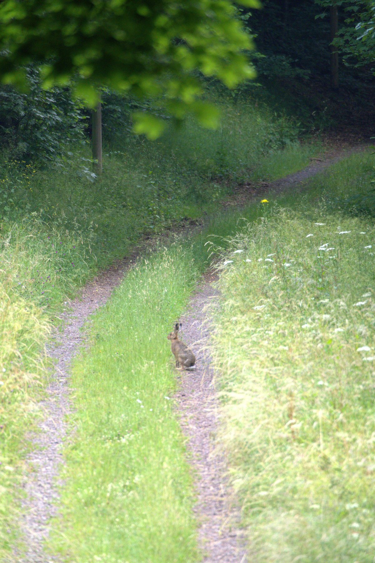
Some tours have a moment that stays with you. On the Traumschleife Hubertusrunde it was a hare. He was simply sitting in the middle of the gravel path, ears upright, completely unfazed – and looked at me as though I were the intruder. Which I probably was.
Starting point at the Hochwaldbad Nonnweiler
The tour starts at the Hochwaldbad Nonnweiler, where there is a large trailhead parking area right at the starting point. Exit the motorway A1 in the direction of Nonnweiler, then it is only a few minutes to the car park. Getting there by public transport is also possible – bus stops are located in the village. A large information board at the car park shows the route; anyone who wishes can get a first overview there.
Through forest paths and foxglove forests
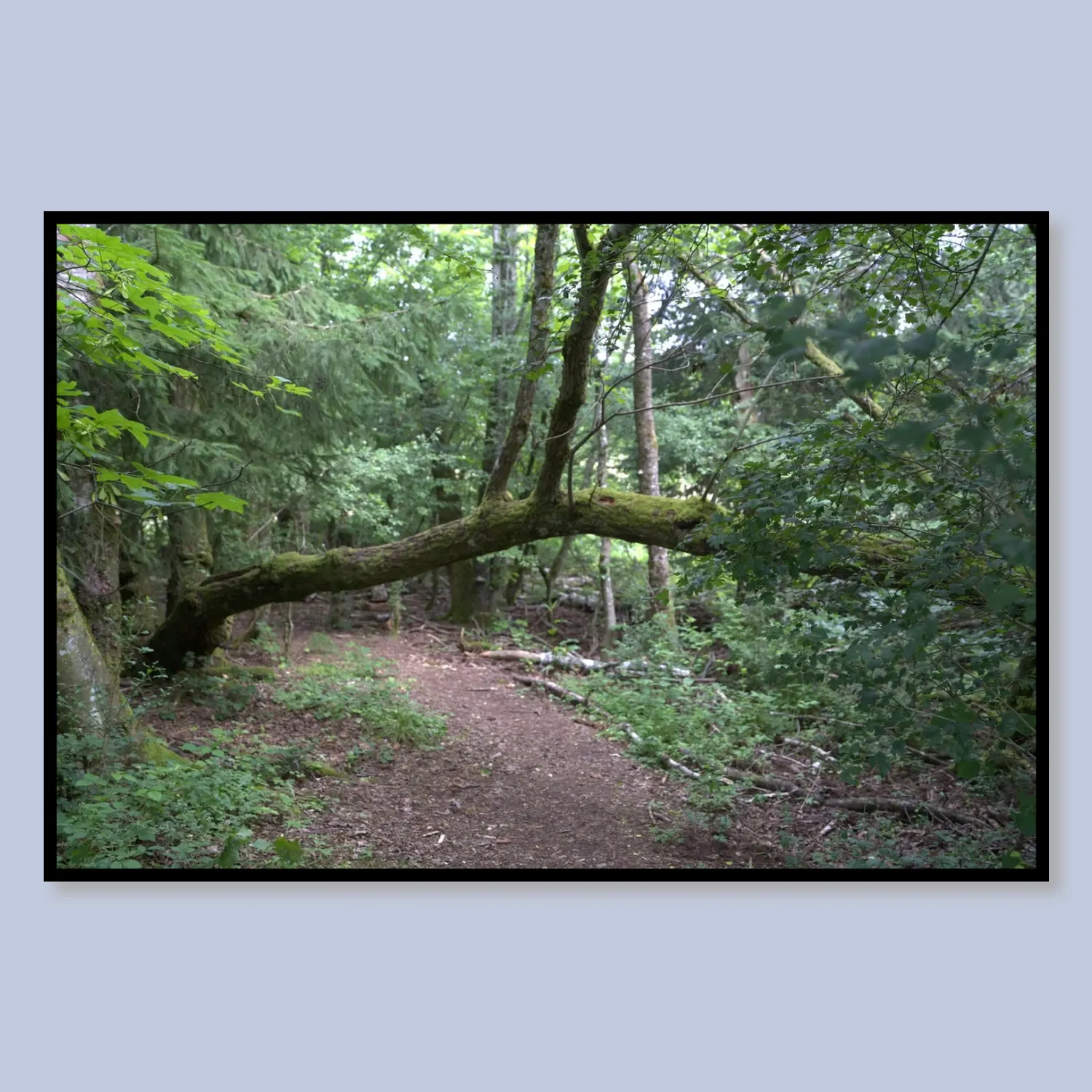
The first metres of the Traumschleife Hubertusrunde lead along a narrow forest path, arched over by moss-covered branches, into the green. Light falls softly and diffusely through the canopy, the ground springs underfoot – moss, roots, damp earth. It is precisely this opening that sets the tone for everything that follows.
Not even a hundred metres further comes the first real eye-catcher: on both sides of the path, purple foxglove (Digitalis purpurea) practically explodes out of the ground. Not just a few isolated plants, but metre-long borders of flower spikes stretching along clearings and woodland edges. In summer this is a natural spectacle I have rarely seen so densely.
Views, wind power and a glance at the sky
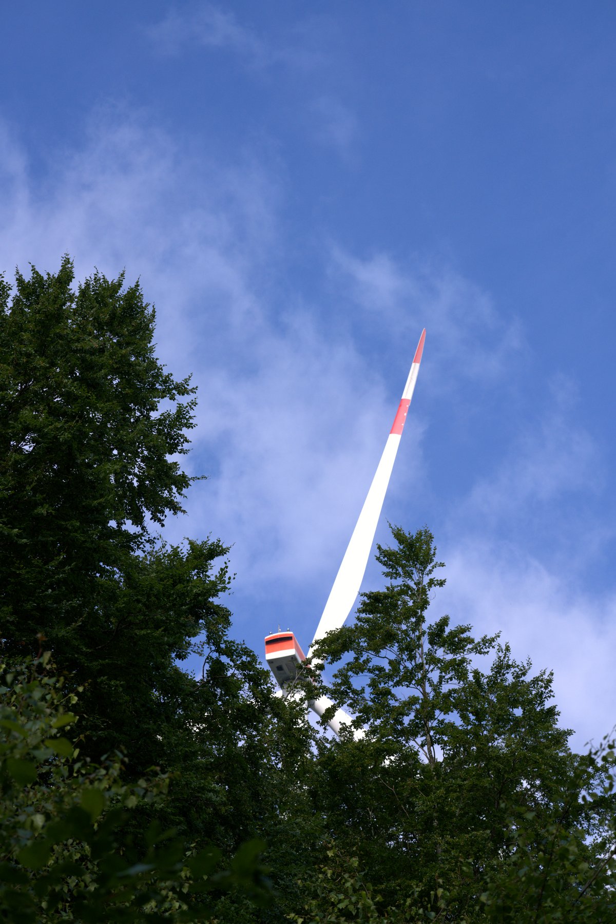
The higher you climb – the elevation profile shows a rise from around 390 metres starting altitude to just under 530 metres – the more open the landscape becomes. At the viewpoints at the Schankelberg and at the Hascheid, the view opens up far into the valley. Suddenly a single rotor blade of a wind turbine juts above the summer canopy – a strangely fascinating scene, industrial technology meets natural idyll, beneath a dramatically clouded sky with bursts of light breaking through.
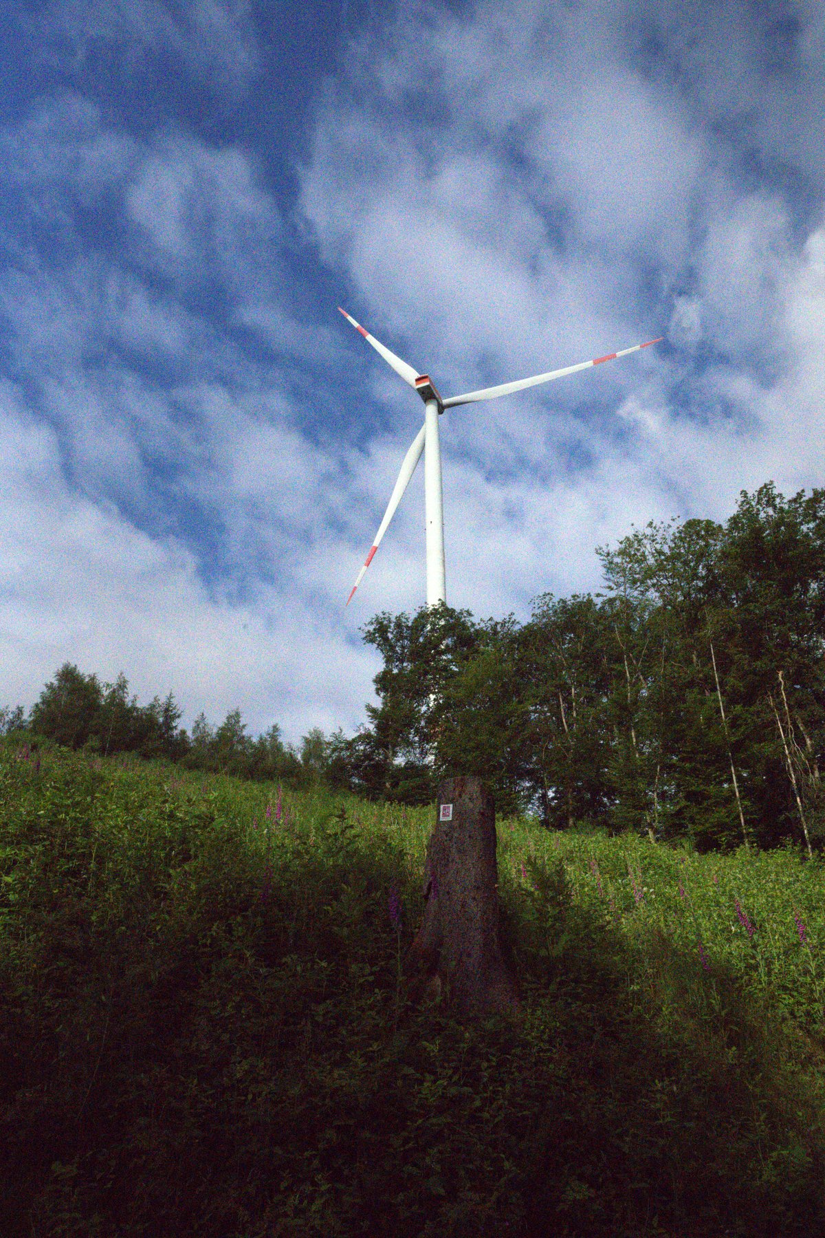
Shortly afterwards you are standing directly beneath the wind turbine. The rotor blades turn slowly above the hillside forest, red and white striped, almost surreally large. I stood there for a long time and took photographs. Anyone who enjoys such contrasts – nature and technology, stillness and movement – will love this spot.
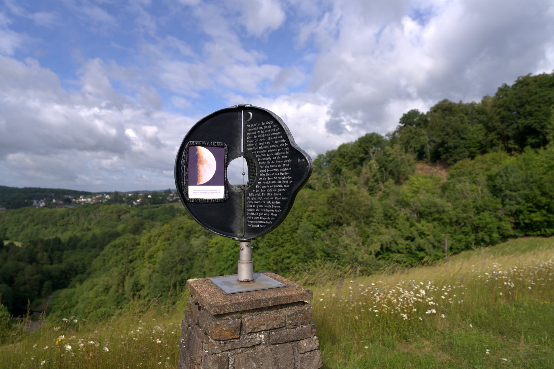
Also impossible to miss: an information board on the subject of the moon, set within a clearing with a far-reaching view over wooded hills. The Traumschleife Hubertusrunde is part of an astronomy trail in the region – a detail you only understand when you suddenly find yourself standing in front of such a board and involuntarily look up at the sky.
Wildflower meadows, a forest hut and the second half
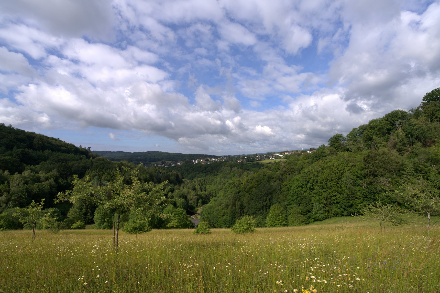
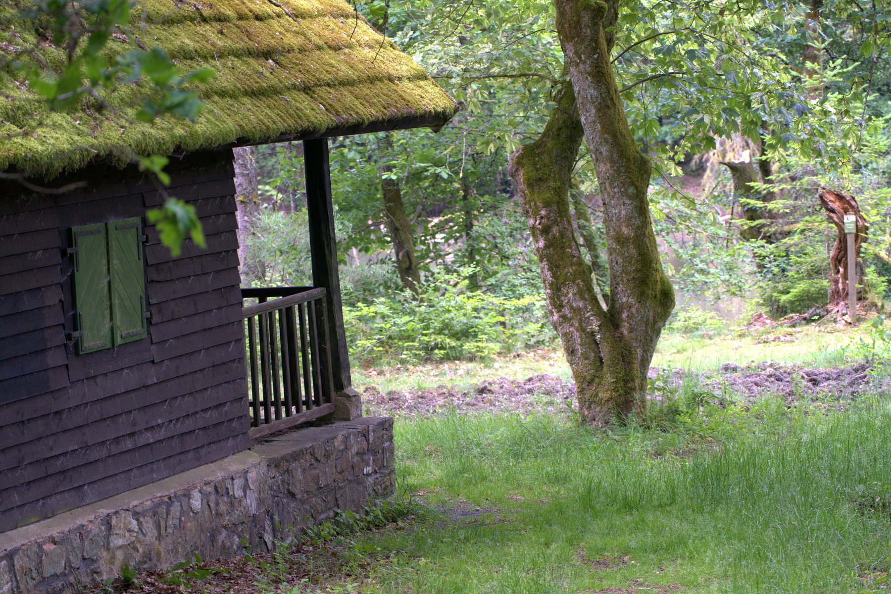
After the high point of the viewpoints, the route becomes quieter again. Wide wildflower meadows appear, with wooded hills beyond and a small village – a typical moment on this hike: openness after the forest. Then a moss-covered forest hut with a wooden veranda appears at the side of the path, a quiet resting spot where you can stretch out your feet and simply sit. I had my packed lunch here and enjoyed the sounds of the forest.
The return route leads through cool, shady paths below the Kahlenberg, past gnarled tree roots and young fir trees on moss-covered forest floor – a natural mixed woodland that looks nothing like managed forestry, but like real wilderness. This is because a good part of the route runs through the Nationalpark Hunsrück-Hochwald, where nature is left to its own devices. A insider tip on the side: anyone who pauses briefly at the trailhead parking area by the main road can plan a detour from there to the Keltischen Ringwall on the Dollberg – one of the most powerful Celtic fortifications in Central Europe, just a few minutes away.
Practical information at a glance
- Distance: 10.2 km, circular route
- Elevation change: approx. 140 m (start/finish ~392 m, high point ~529 m)
- Difficulty: Moderate – partly steep ascents, but well signposted
- Start/finish: trailhead parking area Hochwaldbad Nonnweiler (free of charge)
- Getting there: A1 exit Nonnweiler, then a few minutes into the village
- Refreshments: Hochwaldbad Nonnweiler at the start/finish; resting spot at the forest hut along the route
- Equipment: Sturdy hiking boots recommended (root paths, partly muddy after rain); in summer sun protection for the open meadow sections
- Best time of year: Summer for the foxglove bloom and far-reaching views, winter with snow also worthwhile
- GPS/Komoot: Tour on Komoot
The Traumschleife Hubertusrunde in the Saarland town of Nonnweiler is no easy stroll, but no feat of endurance either. It is a loop that surprises you – with animals, blossoms, technology in the middle of the forest, and views you simply do not expect. Anyone who brings a clear head and a little time will enjoy it.
👕 My product recommendation
Silent forest path under a moss-covered arch in summer ceramic mug
An old tree has fallen sideways across the path — not as an obstacle, but as a gateway. Moss green, earth brown, the light falling through the leaves. This moment on the Traumschleife Hubertusrunde pauses before the path continues. As a fleece blanket it brings this quiet So
☕ Mug & home