


The Hannock – a loop that begins with morning light on field paths and rewards you with a panorama over wide hill ranges.
Der Hannock – 7.6 km loop in the Biosphärenreservat
It was just after eight in the morning when I turned onto the first asphalt field path in Gersheim-Herbitzheim. The shadows still lay long across the meadows, the light had that warm, slightly oblique quality you so rarely catch in early autumn. Just right for a tour like Der Hannock in the Saarpfalz-Kreis – a loop that packs a remarkable amount of landscape and atmosphere into 7.6 km.
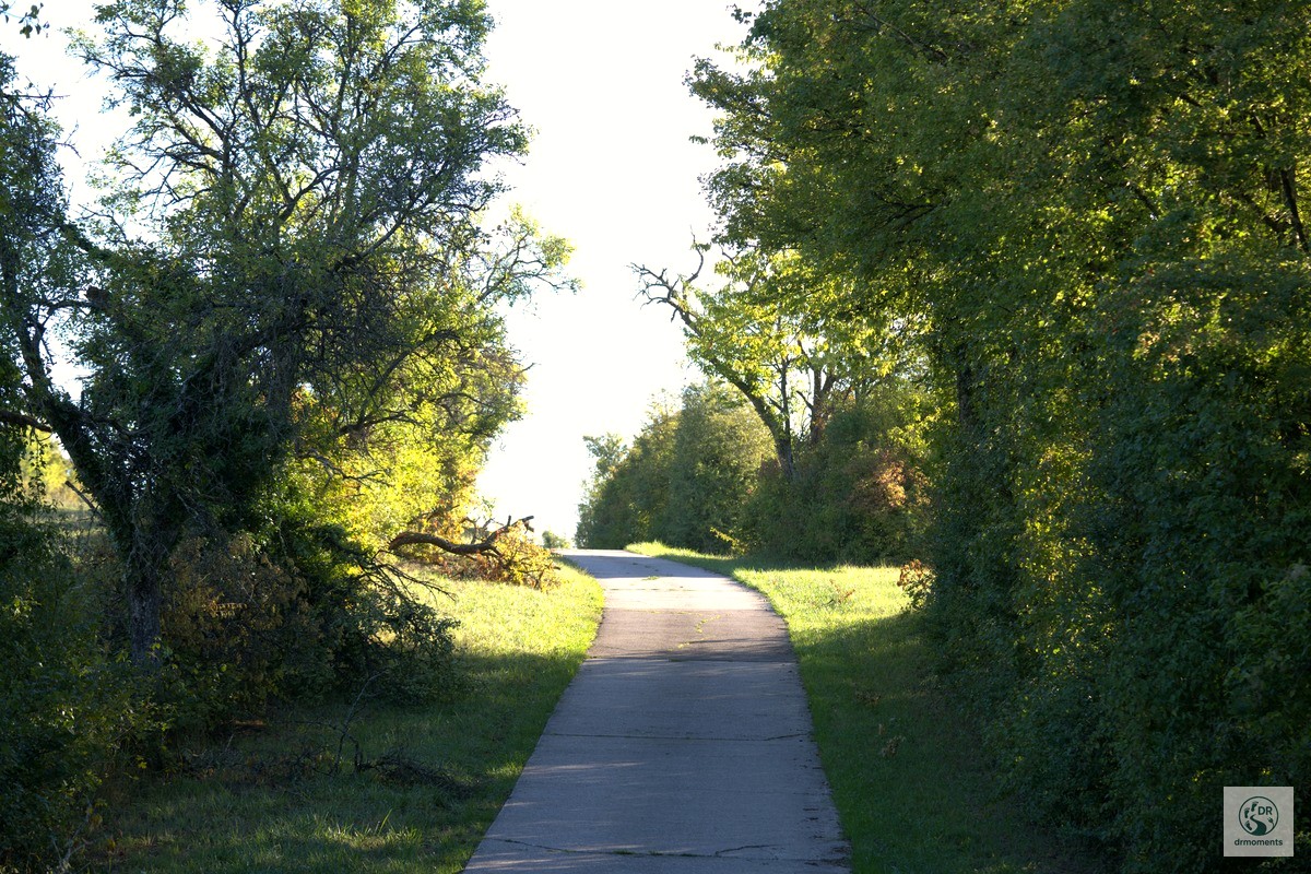
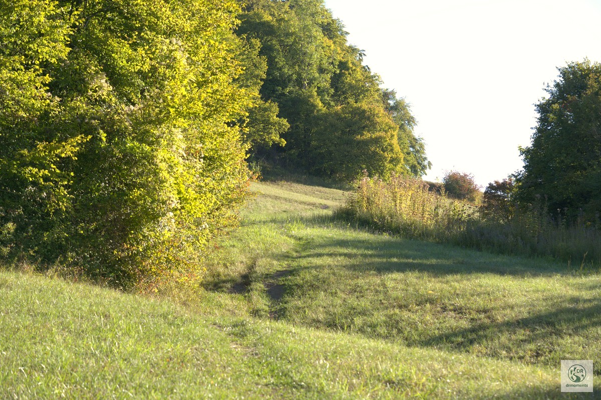
The start: field paths, chicory and a village church tower
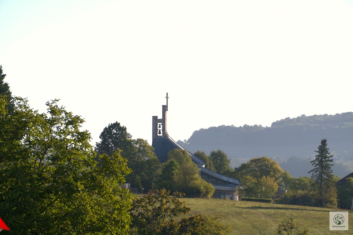
The first few metres lead along a narrow asphalt path through open meadows and fields. By the wayside, a delicate blue chicory flower reaches up into the light – typical of this transitional period between late summer and autumn, when the verges bloom once more before the green fades. Shortly after, a church tower with a dark spire peeks above the treetops – the distinctive Kirche St. Barbara in Herbitzheim, a first point of orientation. The hiking marker sign with the ring logo is stuck to an ivy-covered trunk in the half-shade: you’re on the right track here.
The route continues along a small watercourse framed by violet-flowering bankside plants. Such wetland areas with lush vegetation are characteristic of the terrain – and it’s worth pausing briefly to listen into the reeds.
The heart of the tour: height, long-range views, open hill landscape
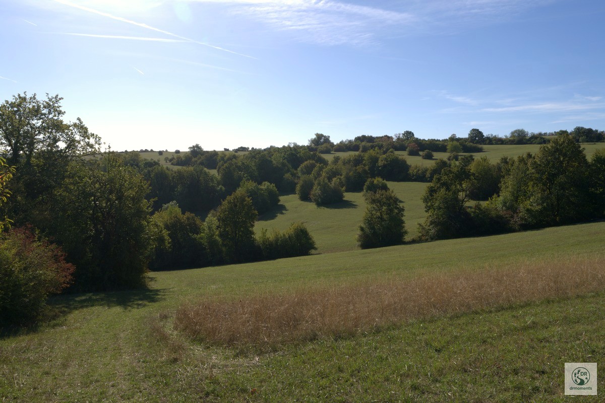
The path climbs. Those who have kept going this far are rewarded with one of the finest panoramas of the tour: gently rolling hills, wide strips of green meadows, clusters of trees in which the first autumn colours are already hiding – and above it all a brilliant blue sky with a single contrail as the only line. Photo three of this report captures this moment best: no drama, just vastness.
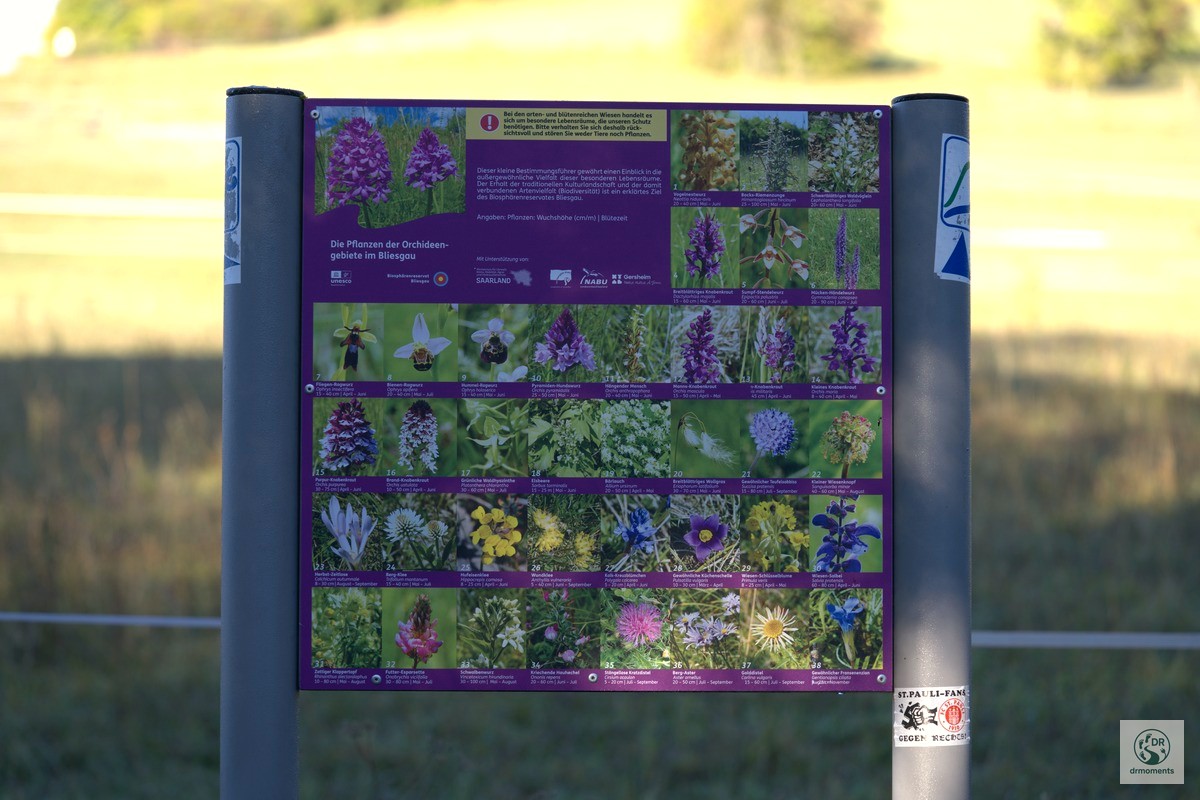
The Hannock itself is a 372-metre-high elevation in the Naturschutzgebiet Südlicher Bliesgau, and from the ridge path the view opens wide across the hill ranges. What hardly anyone knows: the shell limestone soils right here are an eldorado for wild orchids. In early summer, almost half of all orchid species found in Germany grow on these calcareous dry grasslands – the information board by the wayside draws attention to this and is worth more than a brief stop. In autumn you naturally see none of that, but you can see how these open, nutrient-poor meadows are maintained – extensively, without fertiliser, with an eye on biodiversity.
The Rohrentalweiher: quietest spot on the tour
Then downhill to the Rohrentalweiher near Rubenheim – and here the atmosphere changes completely. The quiet pond lies nestled between reeds and densely overgrown banks, a wooden jetty with a green railing pushes into the picture. The water mirrors the trees behind it, the hills behind them, the sky. No wind. No noise. Exactly the right place for a break with coffee you’ve brought yourself. Those who set off early have a good chance of spotting water birds in the reeds here.
The fishing hut is located right at the pond, and in Rubenheim itself a short detour is worthwhile: the Museum für dörfliche Alltagskultur and the quirky Museum des Saarländischen Aberglaubens are two things no other federal state can offer – a genuine insider tip for anyone who still fancies a bit of local colour after the hike.
The church in Rubenheim: a striking finale
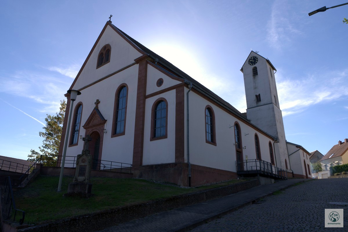
Shortly before the destination you pass the church in Rubenheim – in my photos the white-plastered façade with the red sandstone frames and the separate clock tower. The sun was already lower, the light fell almost vertically onto the south façade and created that high-contrast backlit atmosphere that sometimes makes church photos look almost too kitsch. Not here – the cobbled forecourt and the small square with the stone cross keep the scene grounded.
Practical information
- Start/finish: Gersheim-Herbitzheim, car park at Bahnhof Gersheim
- Distance: 7.6 km, circular route
- Elevation profile: approx. 235 m start, highest point approx. 373 m – two notable ascents and descents, a good base fitness helps
- Refreshments: Hotel Bliesbrück with beer garden (Gleis 1, Rubenheimer Str. 1) right in Herbitzheim; Café Saisonal also on site
- Getting there: Via the A6, exit St. Ingbert-West, then towards Gersheim; Bahnhof Gersheim is also reachable by regional train
- Equipment: Sturdy hiking boots for the descents, in wet autumn weather meadow sections can become slippery; binoculars are worth bringing for the pond
- Best time for this tour: Early autumn for the clear light and panoramic views; early summer for the legendary orchid bloom on the calcareous dry grasslands
The tour is part of the UNESCO Biosphärenreservat Bliesgau in the Saarland – a cultural landscape in which nature conservation and traditional farming have gone hand in hand for centuries. Anyone who has been here once immediately understands why.
Stay in the region – holiday apartments around the Saarpfalz-Kreis.
View accommodations in St. Ingbert
* Affiliate link: If you make a booking, I receive a small commission – the price does not change for you.