
'/%3E%3C/svg%3E)


The Traumschleife Almglück leads through Hochwald paths, past a medieval castle – entertaining and at the same time surprisingly varied.
What awaits you on the Traumschleife Almglück
8.9 kilometres, barely any asphalt, but genuine forest path – the Traumschleife Almglück starts at the car park of the Harteichhütte near Wadrill (Landkreis Merzig-Wadern) and works well as a half-day tour. The elevation profile is gentle: the route moves between 355 and 537 metres, and because the start and finish are at almost identical elevations, you return without any nasty surprises.
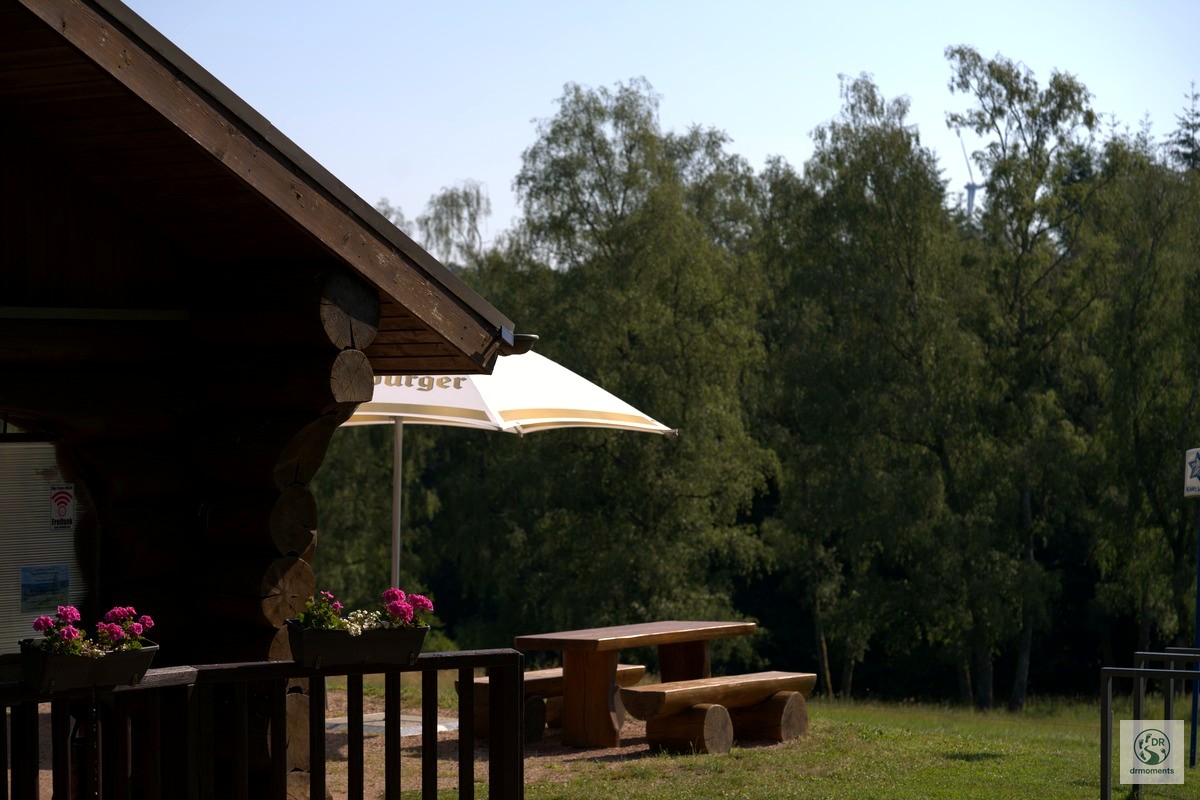
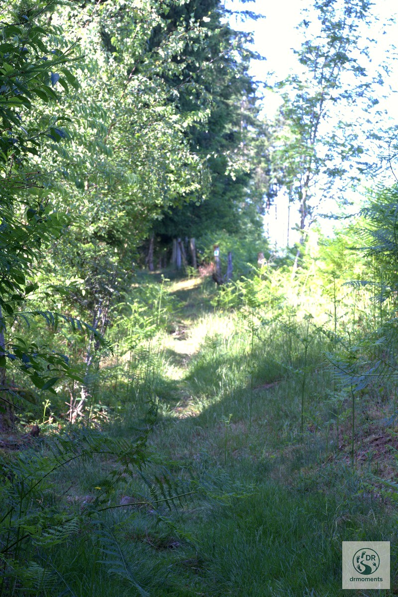
The start: leafy tunnel and first stream companion
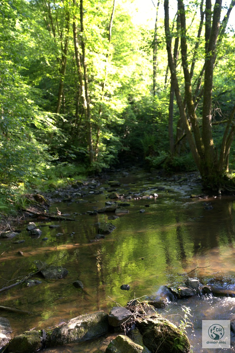
From the car park, the route first leads into a densely overgrown forest path that quickly narrows into a real leafy tunnel. The light falls in narrow strips through the canopy – this is particularly beautiful in the morning, when the side light breaks through the beeches. Shortly after, you hear it before you see it: the Wadrillbach appears, and from here the water accompanies you for quite a stretch. Moss-covered stones, calm pools, the sound of trickling in the background – this runs pleasantly through the first half of the loop.
Hidden gem: the “Weinfässchen” spring
Anyone who wanders attentively through the mixed deciduous forest will come across a small spring called “Weinfässchen” – a charming relic by the wayside that most hikers pass without noticing. A short rest is worthwhile here, if only for the peace and quiet.
The centrepiece: castle ruin with keep and wooden bridge
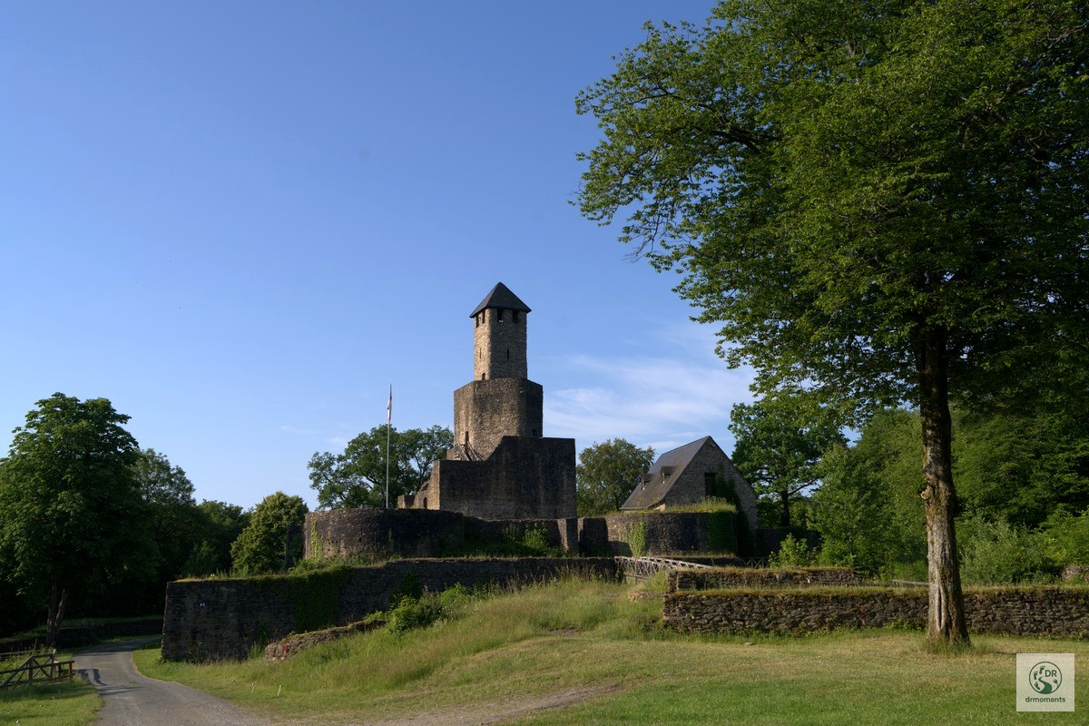
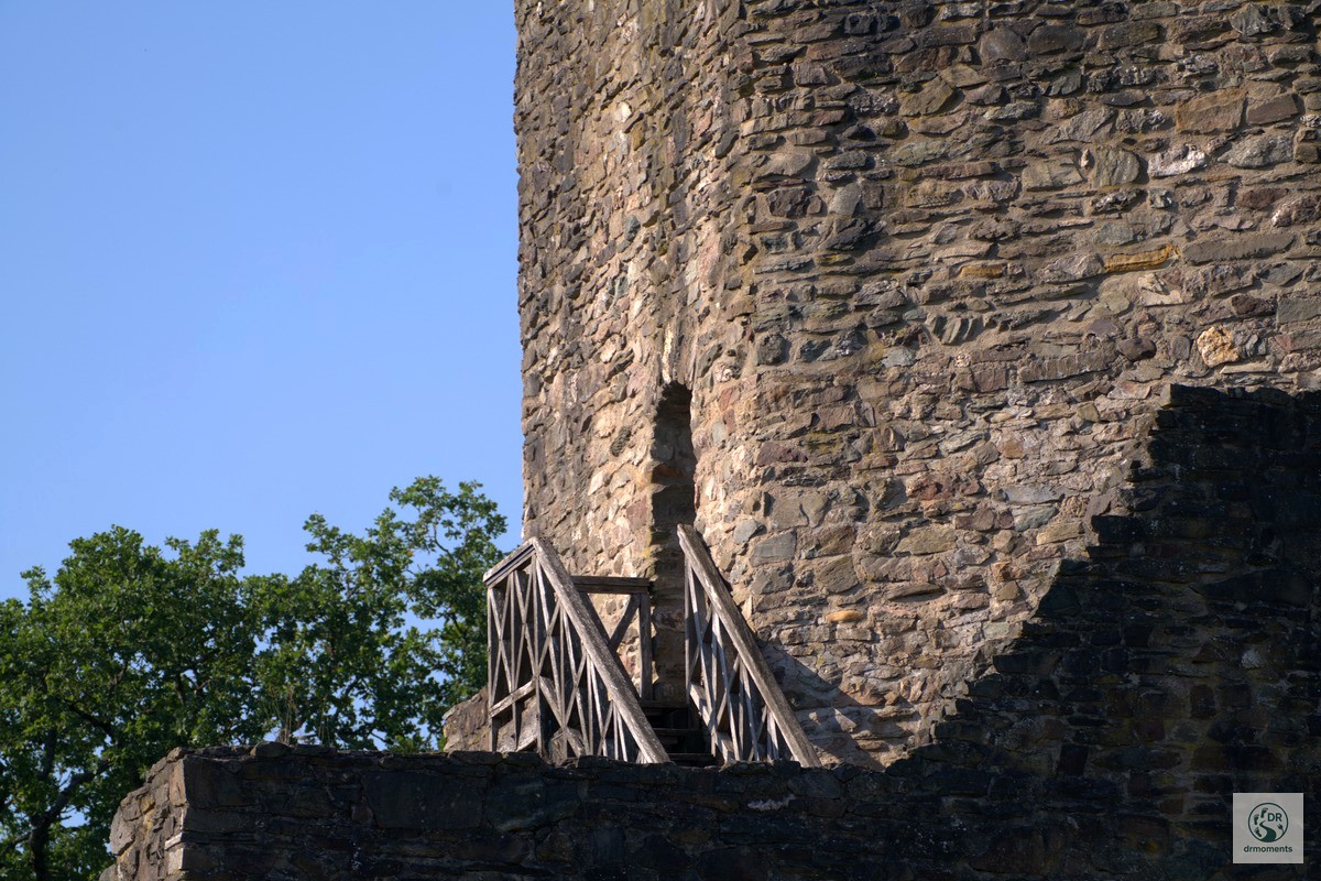
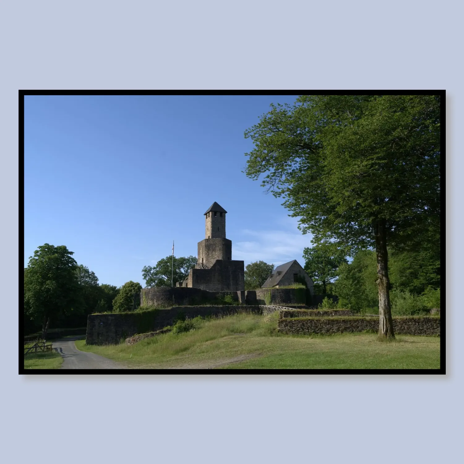
The undisputed highlight of the tour lies at the midpoint: a medieval castle ruin with a mighty keep made of rubble stone. Early in the morning, the tower casts dramatic shadows on the old walls – anyone with a camera will linger here for a while. You enter the grounds via a historic wooden bridge with a half-timbered railing; the weathered grey wood against lush summer green is a composition that arranges itself. A wooden exterior staircase leads directly up into the round tower – panoramic view included, though in wet conditions it’s better to take care, as the steps get slippery.
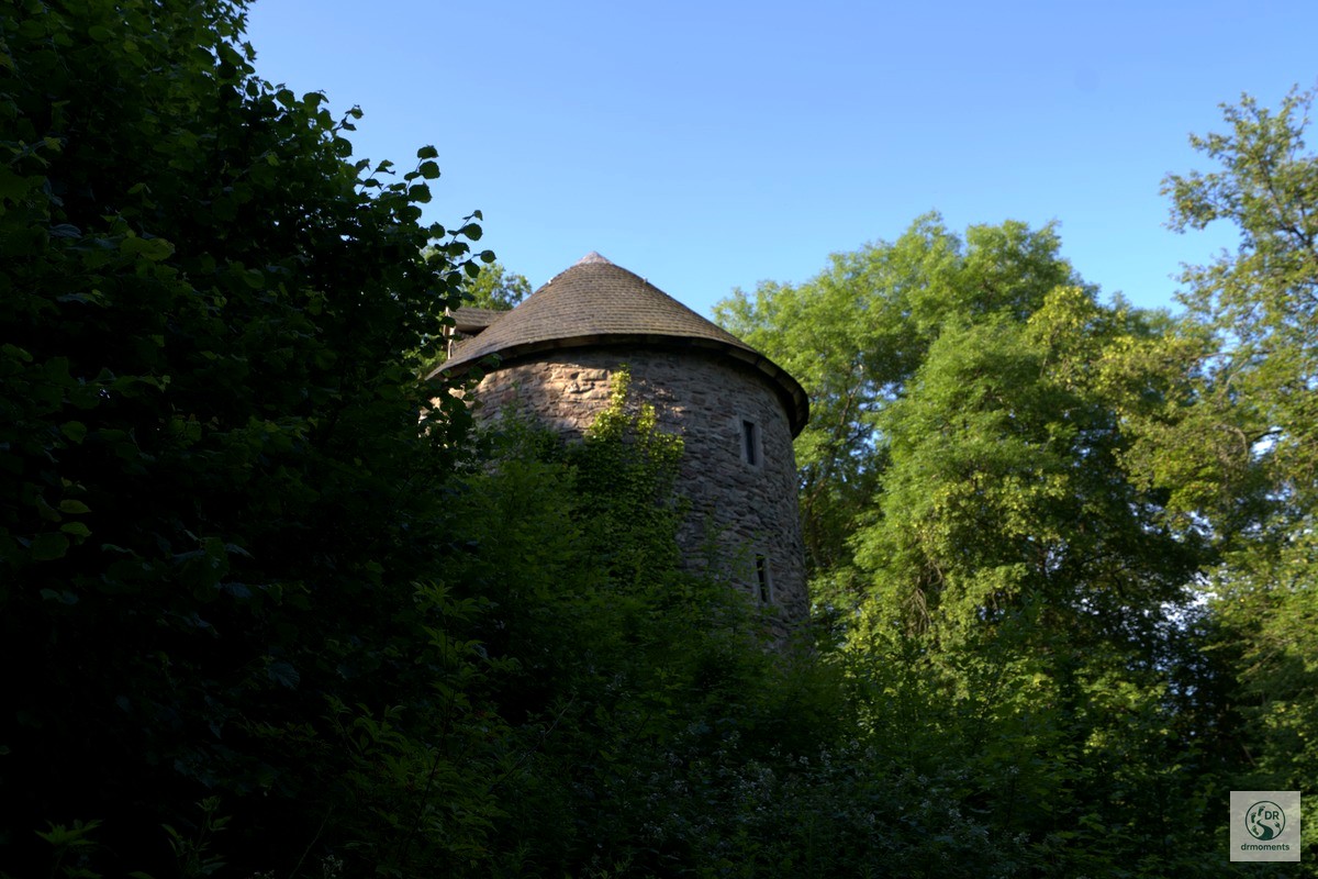
Around the ruin, lush foliage grows abundantly, ferns push their way between the stones, and photographed from below through the canopy, the tower looks as if it has genuinely fallen out of a fairy tale. Plan a good twenty minutes extra here.
The path to the Hochwaldalm
After the castle, the path climbs moderately. Enchanting forest paths with tall fern growth on both sides alternate with short open passages, until the terrain transitions onto a high plateau. Here the view opens up – and shortly after, the Hochwaldalm lies before you. In summer, cattle and horses graze on the meadows, the grass is lush, the horizon wide. A wooden hut by the wayside invites you to rest; even during a brief shower you stay dry here.
The Hochwaldalm itself has a small catering operation – open seasonally, usually from Easter, Fridays to Sundays from 11 a.m. Anyone who wants to be sure should give them a quick call beforehand (+49 6871 507 170). For those who are self-sufficient: the packed lunch you bring along tastes best here anyway.
Practical info at a glance
- Starting point: Car park Harteichhütte near Wadrill (Landkreis Merzig-Wadern)
- Getting there: A1, exit Nonnweiler-Bierfeld, then L365 to Wadrill, Hochwaldstraße in the direction of “Zur Alm”
- Distance: 8.9 km, circular route
- Elevation gain: approx. 182 m ascent
- Duration: 2.5 to 3 hours at a leisurely pace
- Best season: May to October; in early summer the green is at its most lush, in autumn the beeches blaze
- Equipment: Sturdy footwear with grip, especially after rain – the paths by the stream and the wooden staircase at the castle get slippery
- Refreshments: Hochwaldalm (seasonal); otherwise self-sufficient
- Dogs: Well suited – plenty of shade, water along the way
The trail is certified by the Deutschen Wanderinstitut and lies within the Naturpark Saar-Hunsrück, which also includes parts of the northern Saarland. Anyone who wishes can add a short detour to the Grimburg after the loop – it is not far from the car park and is an optional bonus, without which the main loop lacks nothing.
👕 My product tip
Summer Castle Ruin in the Green Acrylic Glass
Among old oaks and lush summer green, the castle complex rises in silence — an image that shows the Traumschleife Almglück in its quietest hour. The tower reaches into a flawless sky, the stonework tells of centuries. An art print for everyone who wants to bring home to the w
🖼️ Wall art