
'/%3E%3C/svg%3E)


The Schiefer-Wackenweg passes through green tunnel paths, past quartzite rocks and into the heart of a real slate mine – 11.9 km that surprise.
Some routes look unspectacular on the map – and then surprise you around every bend. The Traumschleife Schiefer-Wackenweg is one of those. The starting point is Thomm, Landkreis Trier-Saarburg, a small village whose houses and rooftops already reveal, right in the centre, what people here made their living from for centuries: slate. If you look closely, you see it everywhere – as wall cladding, as roofing, as dark stone along the edges of the paths.
How the trail begins
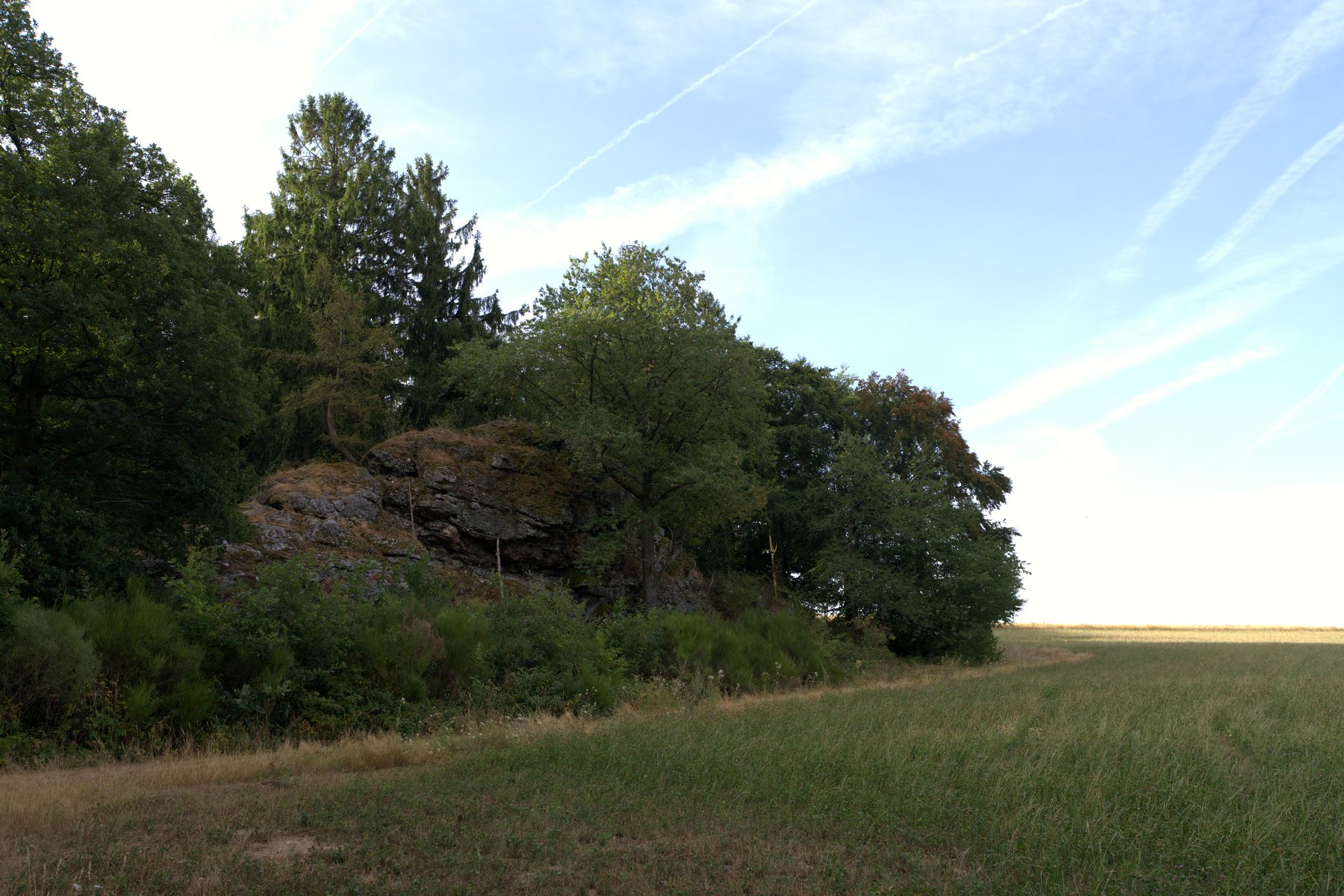
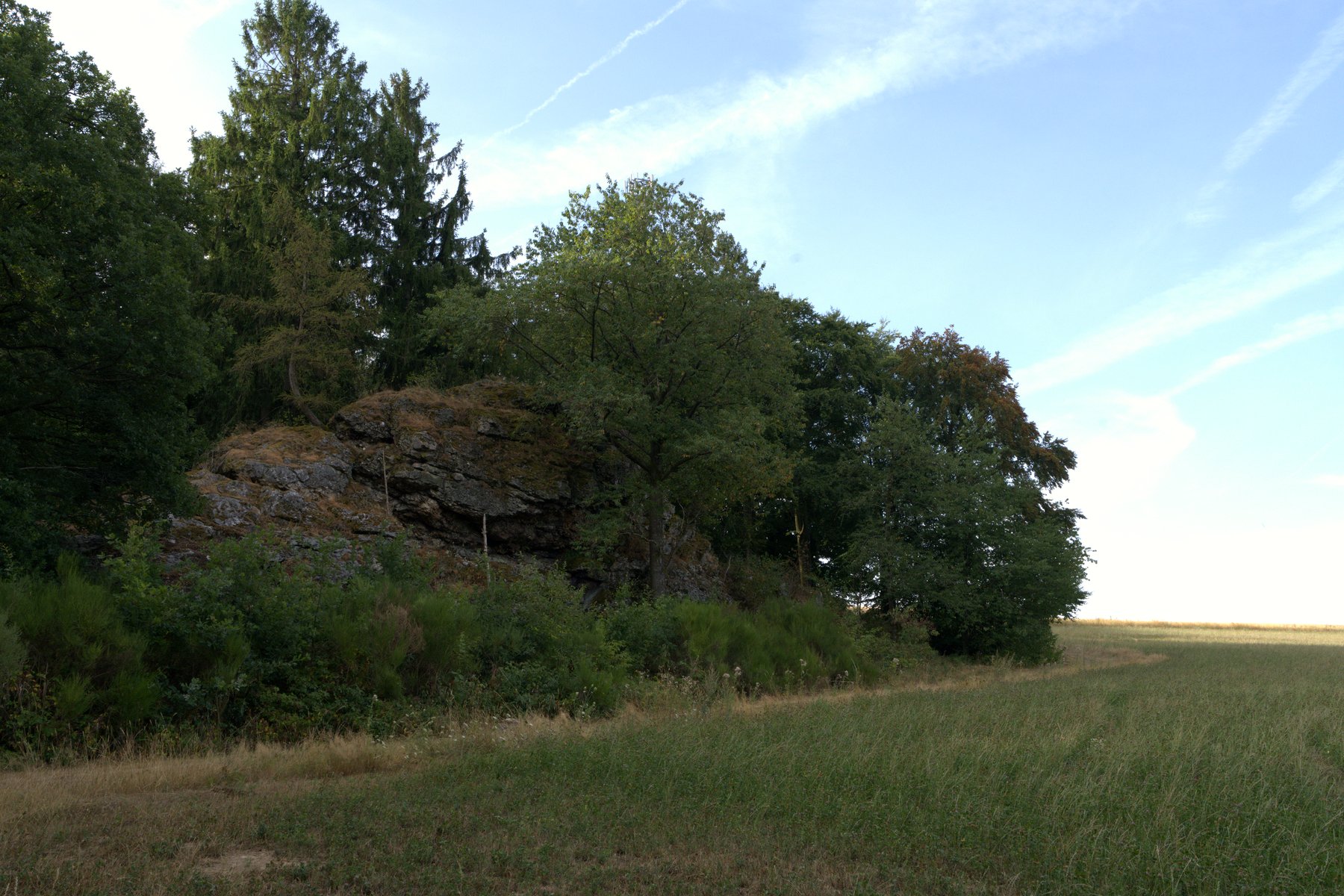
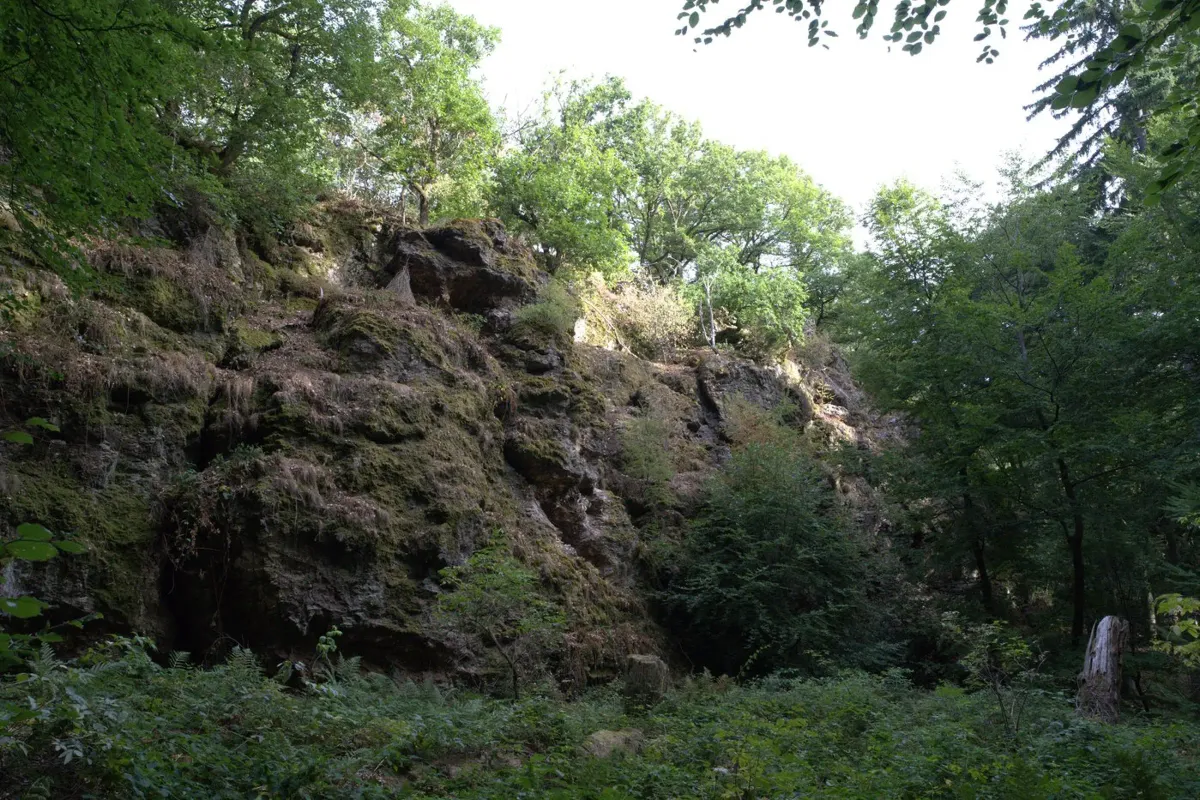
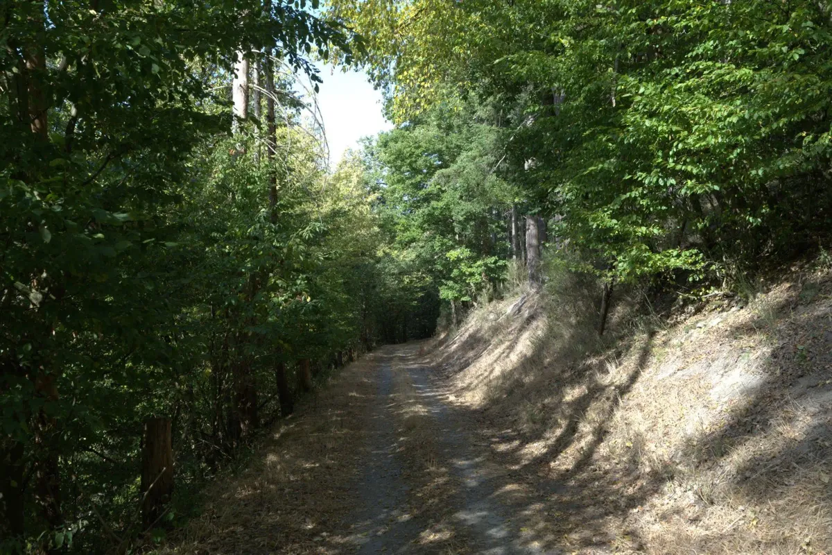
The trail starts at the church in the centre of the village. Within just a few minutes the asphalt disappears, and the path narrows to a track threading between overhanging branches – a genuine leafy tunnel that draws your eyes straight ahead to a bright point of light at the end of the green. That’s not a filter; it really looks like that. The ground gets softer, your footsteps quieter, the noise of cars is gone. Then the first striking slate rock appears: dark, angular, grown out of the slope like a tooth – framed by old trees that glow almost golden in the summer light.
Into the Noßerbachtal and to the mine
The trail leads down into the Noßerbachtal. At first, all you hear is the stream, then the natural monument Herler Wacken appears – a quartzite rock formation jutting out of the forest that invites you to climb. From there, the route continues to the Besucherbergwerk Fell, the real centrepiece of this loop. Two slate quarry pits from the turn of the century, stacked one above the other and connected by a 100-metre staircase shaft – this is no museum with information boards, but real mining you can get hands-on with. Guided tours are offered between April and October; if you have the time, don’t skip it. At the entrance to the mine, the Grubenschänke also awaits as a place to stop for a break at the halfway point.
What caught me most on this stage: a rusty mine wagon sits on a small viewing platform on the hillside, with a wooden bench beside it looking out into the conifer forest. It doesn’t feel staged – it’s simply been left there – and that’s exactly what makes it feel right.
Highlights and the rustic pavilion
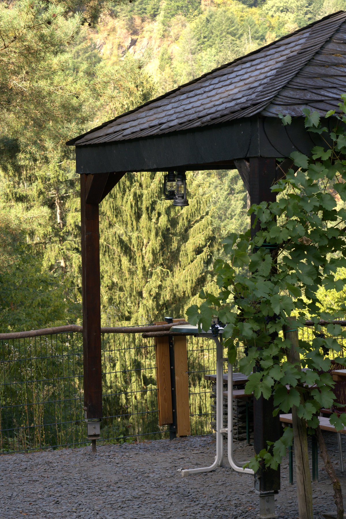
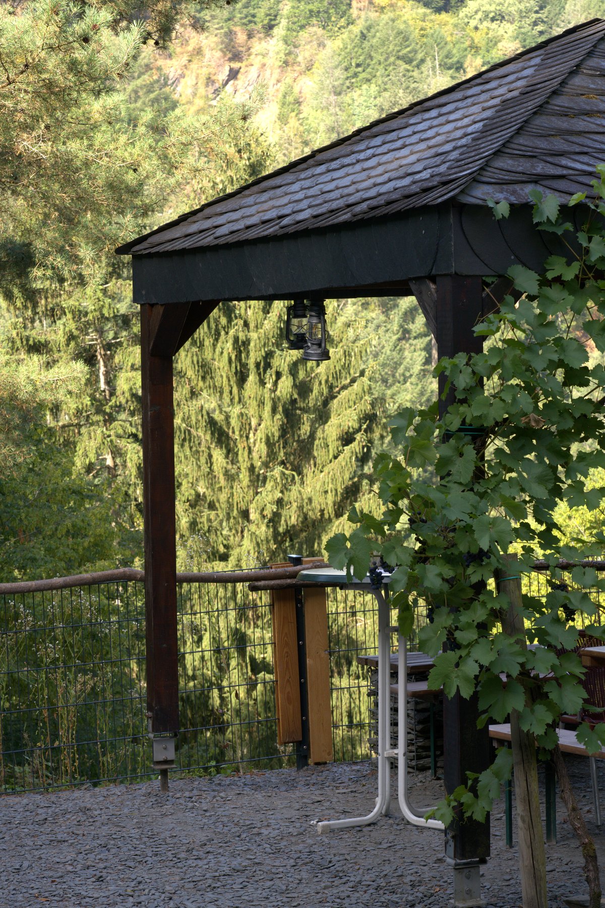
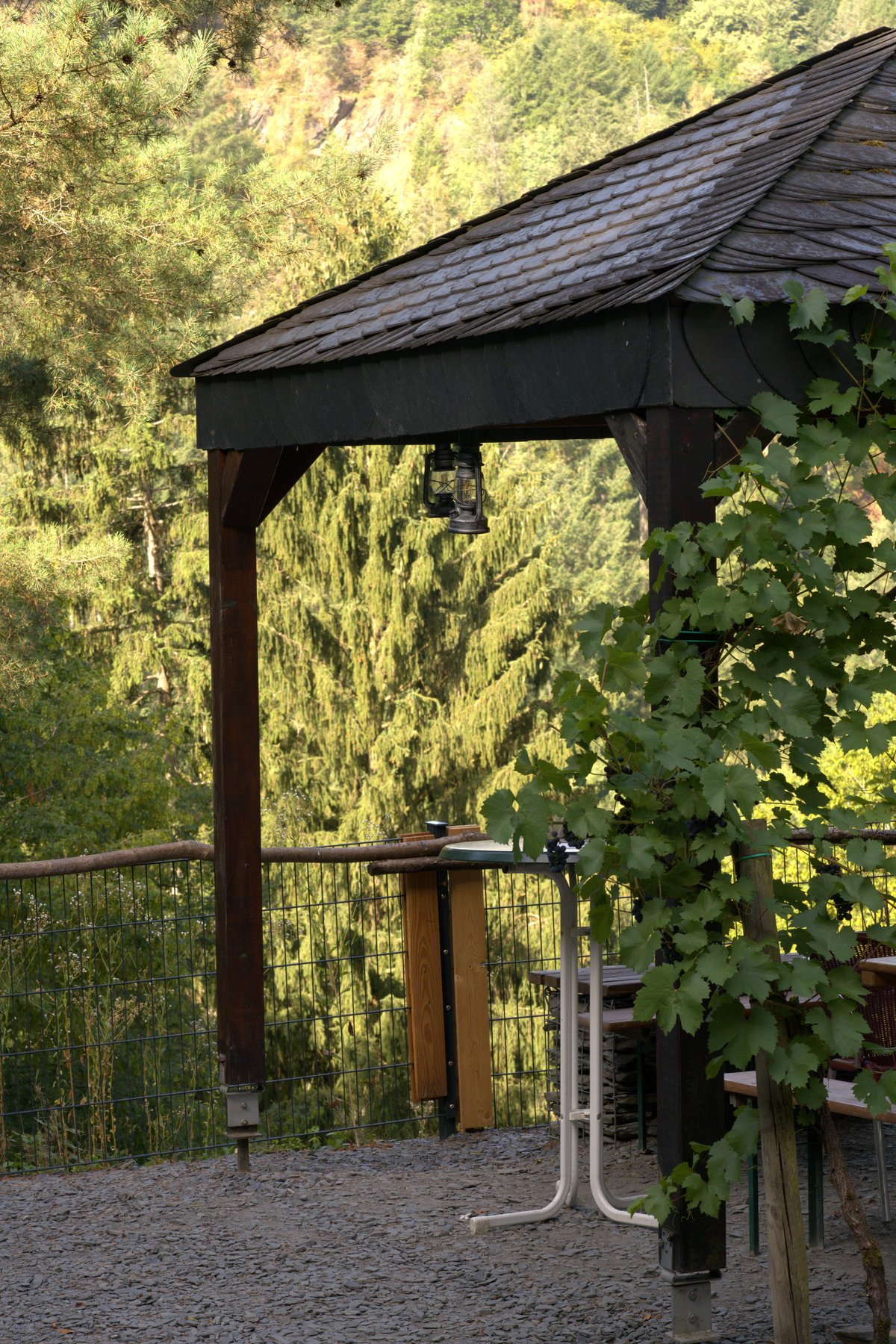
After the mine, the route climbs steadily upward. Passing the Thommer Schieferhalde, the view opens up onto the first vineyard slopes of the Mosel valley – a moment that makes you stop for a second. Somewhere along the way, a rustic wooden pavilion with a slate roof and a hanging oil lantern stands as if it has always been there. A good spot to sit for a moment and just listen.
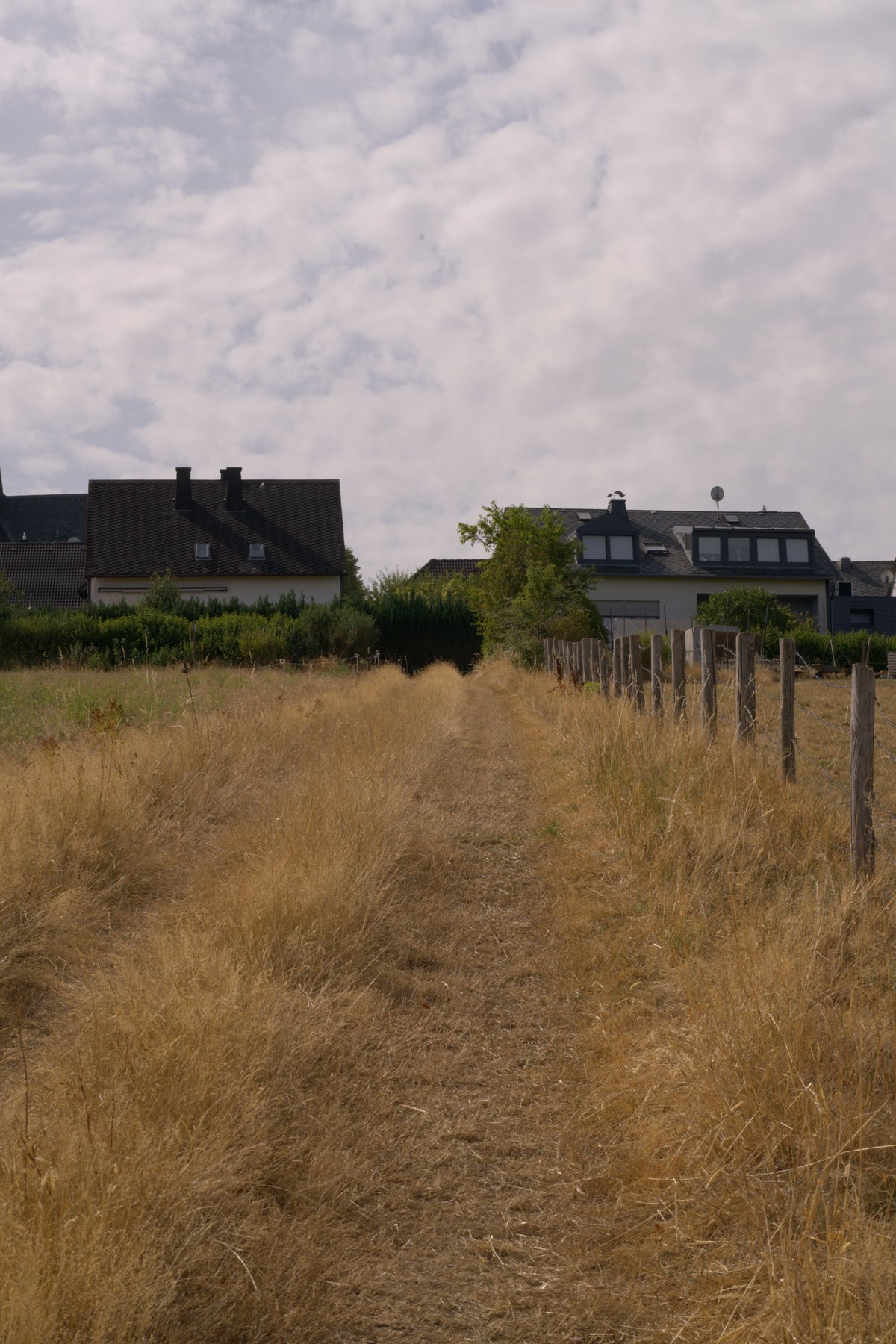
In the final section the landscape opens up: dry summer grass, old wooden fence posts, a narrow dirt track leading past residential houses on the edge of the village. Nothing dramatic – but that has its own appeal. Before heading back into the village, take one more breath of fresh air at the Sinnesbank with its view down into the Mosel valley.
Practical info at a glance
- Start/finish: Kirche Thomm, car park at the Bürgerhaus, 54317 Thomm (Landkreis Trier-Saarburg)
- Distance: 11.9 km, circular route, approx. 3.5–4 hours
- Elevation profile: Start at ~460 m, lowest point ~250 m (Thommerbachtal), moderate ascents – the steepest comes at the end
- Difficulty: Moderate – in wet conditions certain sections can become slippery; sturdy footwear is essential
- Food and drink: Grubenschänke at the Besucherbergwerk Fell (seasonal), Bistro „Weinstein” on site
- Mine tour: Guided tours April–October, ideal for families with children
- Getting there: From Trier via the B52 towards Hermeskeil, turn off at Thomm; signposted
- Public transport: Reachable by bus via Regio-Plus-Bus, stop Thomm
What to pack
Hiking boots with grip – not trainers. In summer, light clothing is enough, but don’t forget something for the wind at higher elevations. Bring water for the first half, as the Grubenschänke doesn’t appear until midway through the route. If you want to visit the mine, plan for an extra 30–45 minutes.
Insider tip: right in the village of Thomm, it’s worth taking a quick look at the old house facades – many are still clad in locally quarried slate and quietly tell the story of the area’s mining history. Once you see it, you understand why this Traumschleife bears its name right here.
Stay in the region – holiday apartments around Trier-Saarburg.
* Affiliate link: If you make a booking, I receive a small commission – the price does not change for you.
Bring the Traumschleife Schiefer-Wackenweg home for your wall
My photos from this tour are available as high-quality posters — printed and delivered by Juniqe.
* Affiliate links: If you make a purchase, I receive a small commission – the price does not change for you.